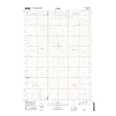
2015 Map of Alpha
USGS Topo · Published 2015About this map
Alpha and Richfield sit at the center of this rural Northeast Iowa landscape, where the headwaters of several major regional waterways begin their descent. The terrain is defined by the winding course of the Little Wapsipinicon River and the Volga River, which carve through a dense grid of section-line roads. This survey illustrates the tri-county intersection where Chickasaw, Bremer, and Fayette counties meet. Local history and genealogy are preserved in the locations of Richfield Cem, Bethel Cem, and Wilson Grove Cem. The presence of Johnsons Mill Rd suggests the historical importance of water-powered industry along the smaller streams like Haugh Cr and Marsh Cr, which feed the larger river systems of the Hawkeye State.
Find a feature on this map
52 named features on this map. Tap any name to fly to it.
Don’t see what you’re looking for? This feature index may not catch every label — zoom into the map to look around manually.
Map Details
Editions of this 2015 Alpha Map
This is the sole edition of this map. No revisions or reprints were ever made.
Other maps of this area

1901 · Oelwein
USGS Topo · 1:125,000

1906 · Decorah
USGS Topo · 1:125,000

1954 · Mason City
USGS Topo · 1:250,000

1954 · Waterloo
USGS Topo · 1:250,000

1955 · Waterloo
USGS Topo · 1:250,000

1957 · Mason City
USGS Topo · 1:250,000

1958 · Mason City
USGS Topo · 1:250,000

1958 · La Crosse
USGS Topo · 1:250,000

1959 · Dubuque
USGS Topo · 1:250,000

1961 · Dubuque
USGS Topo · 1:250,000