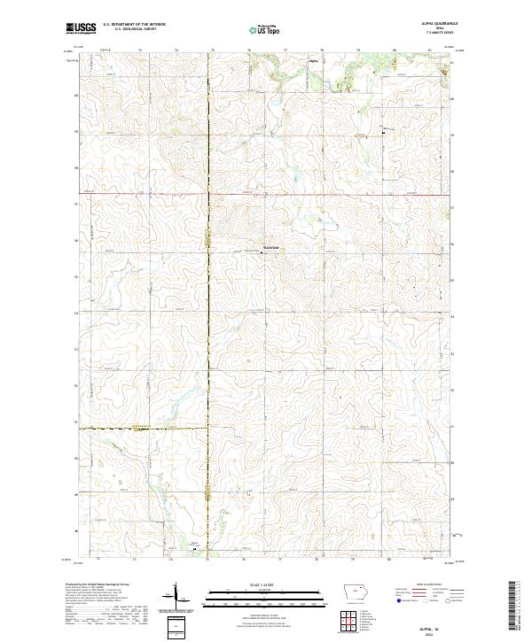
2022 Map of Alpha
USGS Topo · Published 2022About this map
Alpha and Richfield anchor this rural landscape in the northeastern corner of Iowa, where three counties—Chickasaw, Bremer, and Fayette—converge. The terrain is defined by a dense network of river systems and creeks, most notably the Little Wapsipinicon River and the Volga River. The agricultural character of the era is evident in the precise grid of section lines and gravel roads, such as Vanderbilt Ave and York Ave, which connect isolated homesteads and local landmarks. Genealogists will find significant value in the distribution of family-centered burial grounds, including Bethel Cem, Richfield Cem, and Wilson Grove Cem. The presence of Johnsons Mill Rd suggests the historical location of early water-powered industry along the regional waterways, while smaller tributaries like Marsh Cr and Hough Cr carve through the fertile prairie land.
Find a feature on this map
53 named features on this map. Tap any name to fly to it.
Don’t see what you’re looking for? This feature index may not catch every label — zoom into the map to look around manually.
Map Details
Editions of this 2022 Alpha Map
This is the sole edition of this map. No revisions or reprints were ever made.
Other maps of this area

1901 · Oelwein
USGS Topo · 1:125,000

1906 · Decorah
USGS Topo · 1:125,000

1954 · Mason City
USGS Topo · 1:250,000

1954 · Waterloo
USGS Topo · 1:250,000

1955 · Waterloo
USGS Topo · 1:250,000

1957 · Mason City
USGS Topo · 1:250,000

1958 · Mason City
USGS Topo · 1:250,000

1958 · La Crosse
USGS Topo · 1:250,000

1959 · Dubuque
USGS Topo · 1:250,000

1961 · Dubuque
USGS Topo · 1:250,000