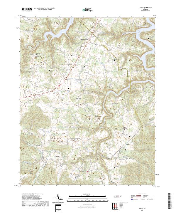
2022 Map of Alpine
USGS Topo · Published 2022About this map
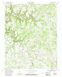
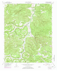
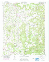
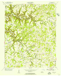
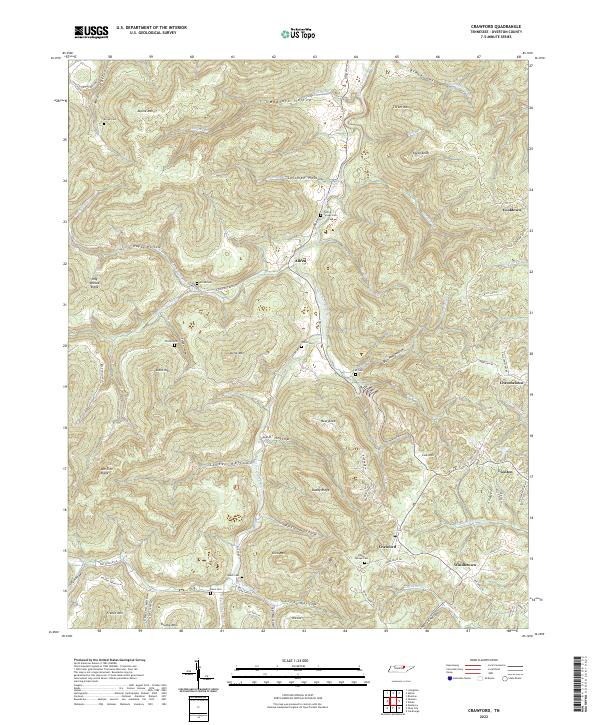
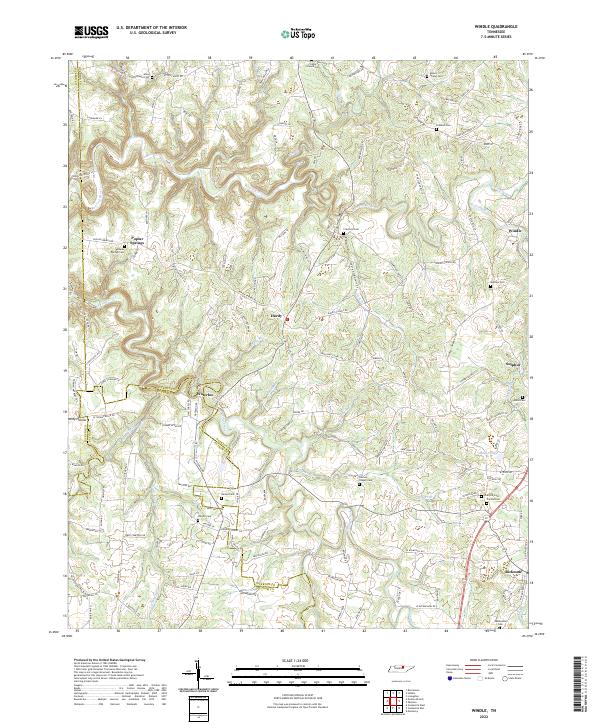
Wirmingham and the surrounding highlands of the Eastern Highland Rim are defined by a complex network of deep hollows and narrow ridges. The landscape is marked by the presence of Dale Hollow Lake in the north and the winding course of the West Fork Obey River to the east. Numerous family burial grounds, such as the Winningham Cem and Ferrill Cem, are tucked into the drainages of Crawford Hollow and Bugger Hole Hollow, reflecting generations of rural Tennessee settlement patterns. High points like Pilot Knob and King Mtn overlook a terrain where small communities like Alpine and Monroe are connected by winding mountain roads. The topographic detail captures the transition from high ridge tops like Rocky Ridge down to the creek beds of Nettlecarrier Cr and Goose Creek Ln, illustrating the historical reliance on these natural corridors for travel and habitation.
Find a feature on this map
122 named features on this map. Tap any name to fly to it.
Don’t see what you’re looking for? This feature index may not catch every label — zoom into the map to look around manually.
Map Details
Editions of this 2022 Alpine Map
This is the sole edition of this map. No revisions or reprints were ever made.
Historical Maps of Ivyton Through Time
14 maps found

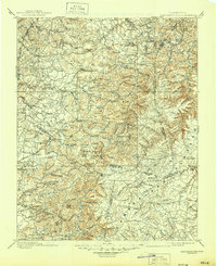
1897 Standingstone
Overton County, TN
1898 Standingstone
Overton County, TN
1946 Obey City
Overton County, TN
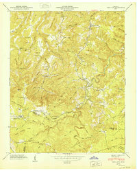
1950 Obey City
Overton County, TN
1951 Windle
Overton County, TN
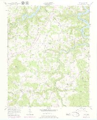
1954 Crawford
Overton County, TN
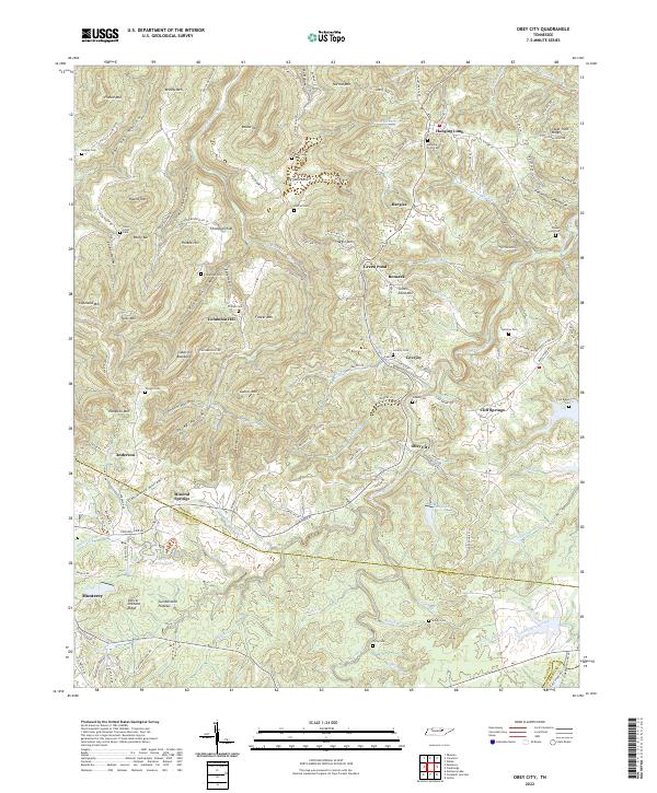
1955 Okalona
Overton County, TN
1955 Windle
Overton County, TN
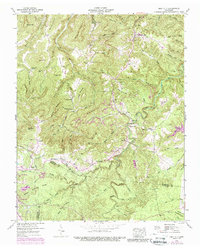
1956 Alpine
Overton County, TN
2022 Alpine
Overton County, TN
2022 Crawford
Overton County, TN
2022 Obey City
Overton County, TN
2022 Okalona
Overton County, TN
2022 Windle
Overton County, TN