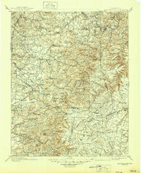
1898 Map of Standingstone
USGS Topo · Published 1945About this map
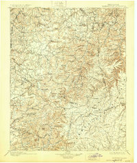
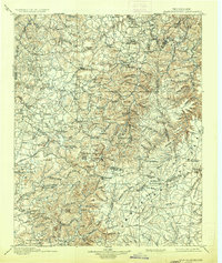
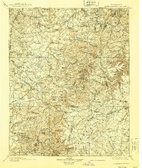
The town of Livingston serves as a focal point in this late 19th-century survey of North Central Tennessee, where the transition from the rolling Highland Rim to the Cumberland Plateau dominates the landscape. The intricate drainage patterns of the Wolf River and Roaring River carve deep valleys between high points like Alpine Mountain and Skinner Mountain. This era captures a landscape of small, isolated farming and timber settlements connected by early overland routes like the road to Nashville.
Find a feature on this map
160 named features on this map. Tap any name to fly to it.
Don’t see what you’re looking for? This feature index may not catch every label — zoom into the map to look around manually.
Map Details
Editions of this 1898 Standingstone Map
8 editions found

Other maps of this area

1887 · Kingston
USGS Topo · 1:125,000

1891 · Kingston
USGS Topo · 1:125,000

1892 · Pikeville
USGS Topo · 1:125,000

1893 · Mc Minnville
USGS Topo · 1:125,000

1893 · Kingston
USGS Topo · 1:125,000

1895 · Wartburg
USGS Topo · 1:125,000

1895 · Mc Minnville
USGS Topo · 1:125,000

1895 · Pikeville
USGS Topo · 1:125,000

1896 · Wartburg
USGS Topo · 1:125,000

1897 · Standingstone
USGS Topo · 1:125,000