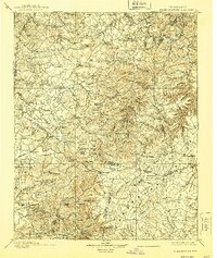
1898 Map of Standingstone
USGS Topo · Published 1939About this map
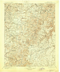
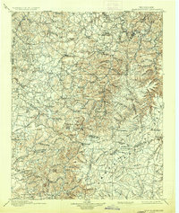
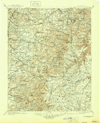
Livingston serves as the focal point of this late 19th-century survey, situated at the crossroads of several major regional routes through Overton County. The landscape is defined by the sharp transition between the deep hollows of the Obey River watershed and the high, broken plateaus of Alpine Mountain and Bee Tree Ridge. This era captures the early infrastructure of the Upper Cumberland, notably the Tennessee Central RR corridor passing through Monterey and the established Knoxville and Nashville Road. Smaller communities like Netherland, Allons, and Riverton are well-documented alongside family-named landmarks such as Garretts Mill and Beard Mt. The map preserves several uniquely named watercourses including No Business Creek and How Come You Creek, reflecting the local nomenclature of those who settled these steep Tennessee valleys.
Find a feature on this map
144 named features on this map. Tap any name to fly to it.
Don’t see what you’re looking for? This feature index may not catch every label — zoom into the map to look around manually.
Map Details
Editions of this 1898 Standingstone Map
8 editions found

Other maps of this area

1887 · Kingston
USGS Topo · 1:125,000

1891 · Kingston
USGS Topo · 1:125,000

1892 · Pikeville
USGS Topo · 1:125,000

1893 · Mc Minnville
USGS Topo · 1:125,000

1893 · Kingston
USGS Topo · 1:125,000

1895 · Wartburg
USGS Topo · 1:125,000

1895 · Mc Minnville
USGS Topo · 1:125,000

1895 · Pikeville
USGS Topo · 1:125,000

1896 · Wartburg
USGS Topo · 1:125,000

1897 · Standingstone
USGS Topo · 1:125,000