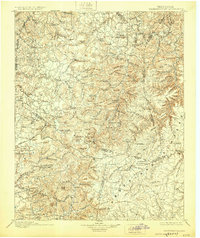
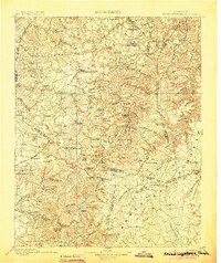
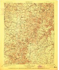
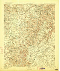
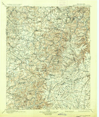
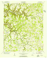
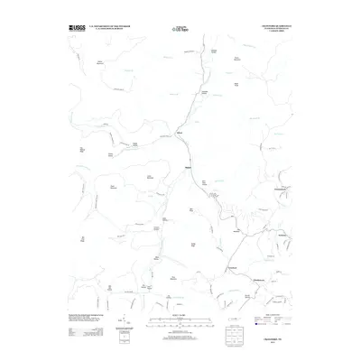
1898 Map of Standingstone
USGS Topo · Published 1929About this map
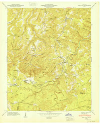
The rugged ascent of the Cumberland Plateau defines this late 19th-century landscape, where early Tennessee pioneers carved settlements into deep coves and narrow hollows. Central to the region is the village of Standingstone and the higher elevation town of Monterey, which sit near the intersection of several county boundaries. The map documents an era when the Knoxville and Nashville Road served as a primary artery through the hills, connecting isolated hamlets like Netherland and Algood. Family history is deeply rooted in the landscape through features like Garretts Mill and the numerous named coves such as Copeland Cove and Johnson Cove. Rural community life is anchored by small congregations at Shady Grove and Cedar Springs, while the unusual geological feature known as The Horse Pound stands as a landmark on the eastern edge of the plateau.
Find a feature on this map
152 named features on this map. Tap any name to fly to it.
Don’t see what you’re looking for? This feature index may not catch every label — zoom into the map to look around manually.
Map Details
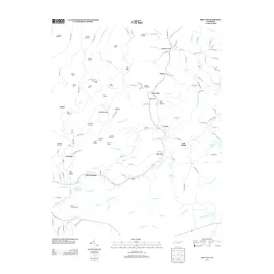
Editions of this 1898 Standingstone Map
8 editions found

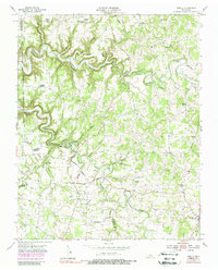
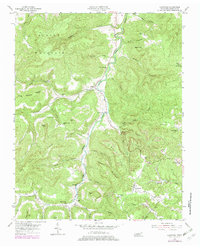
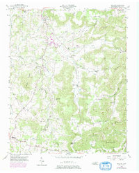
Historical Maps of Cookeville Through Time
34 maps found

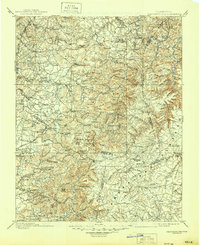
1897 Standingstone
Overton County, TN
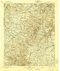
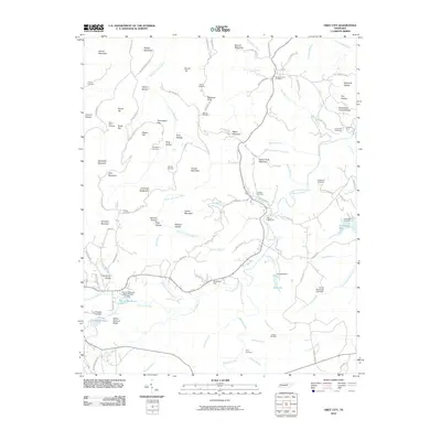
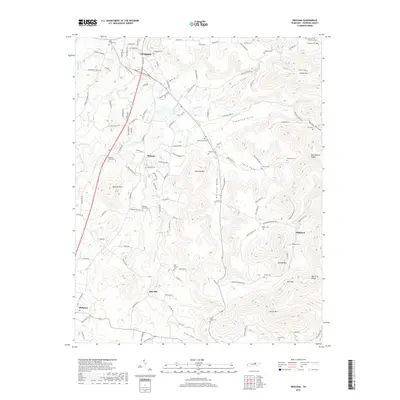
1898 Standingstone
Overton County, TN
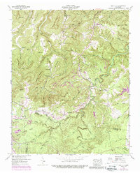
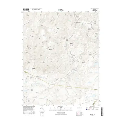
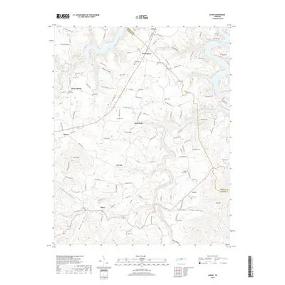
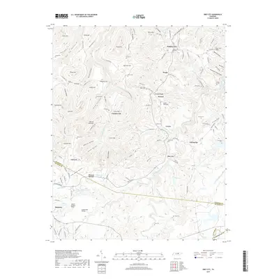
1946 Obey City
Overton County, TN
1950 Obey City
Overton County, TN
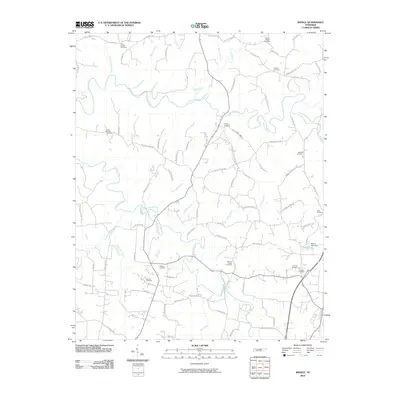
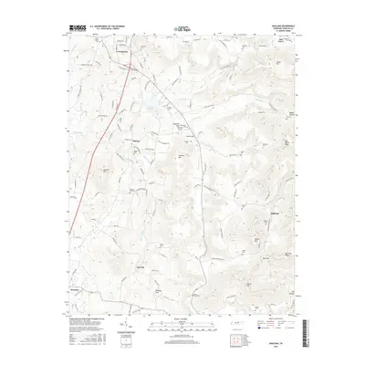
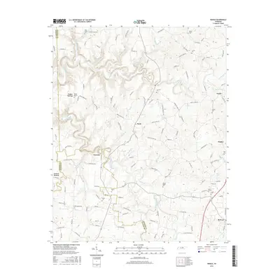
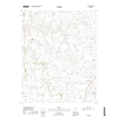
1951 Windle
Overton County, TN
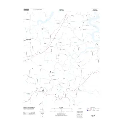
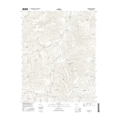
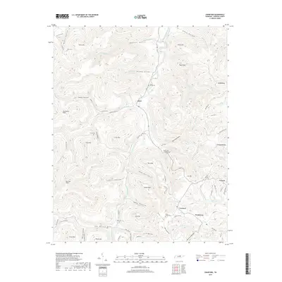
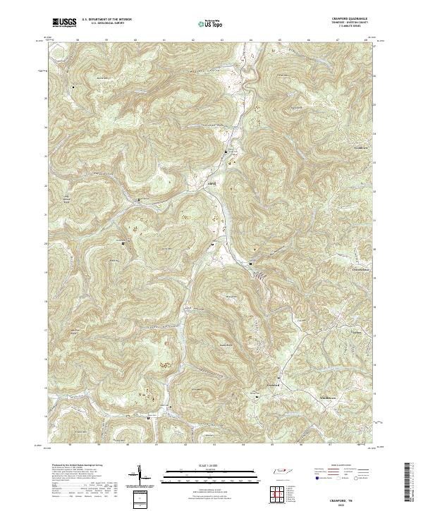
1954 Crawford
Overton County, TN
1955 Okalona
Overton County, TN
1955 Windle
Overton County, TN
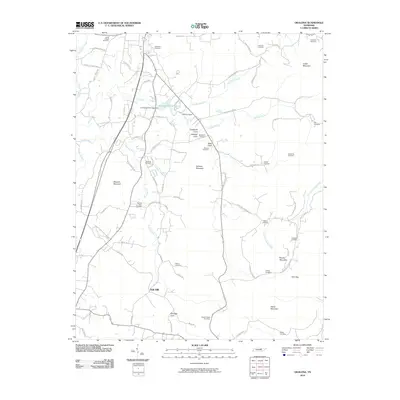
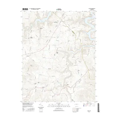
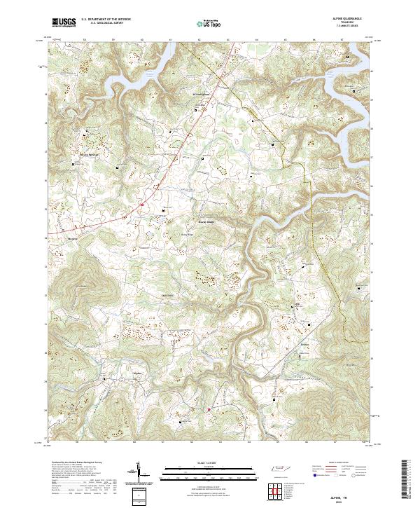
1956 Alpine
Overton County, TN
2010 Alpine
Overton County, TN
2010 Crawford
Overton County, TN
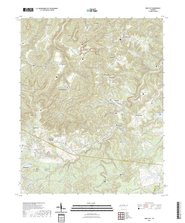
2010 Obey City
Overton County, TN
2010 Okalona
Overton County, TN
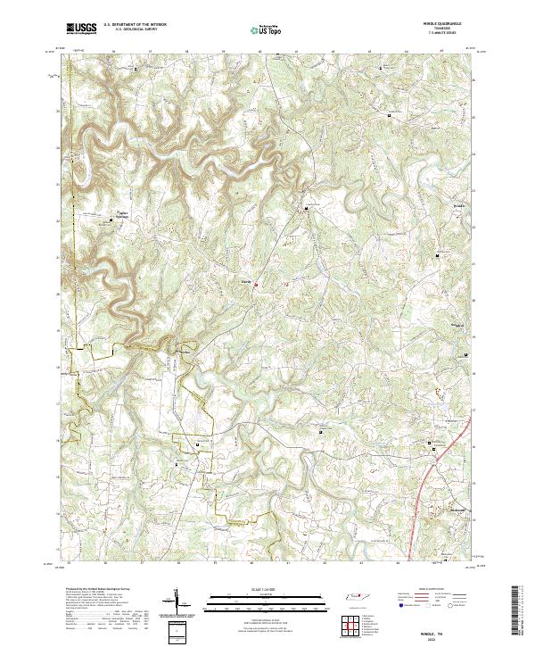
2010 Windle
Overton County, TN
2013 Alpine
Overton County, TN
2013 Crawford
Overton County, TN
2013 Obey City
Overton County, TN
2013 Okalona
Overton County, TN
2013 Windle
Overton County, TN
2016 Alpine
Overton County, TN
2016 Crawford
Overton County, TN
2016 Obey City
Overton County, TN
2016 Okalona
Overton County, TN
2016 Windle
Overton County, TN
2019 Alpine
Overton County, TN
2019 Crawford
Overton County, TN
2019 Obey City
Overton County, TN
2019 Okalona
Overton County, TN
2019 Windle
Overton County, TN
2022 Alpine
Overton County, TN
2022 Crawford
Overton County, TN
2022 Obey City
Overton County, TN
2022 Okalona
Overton County, TN
2022 Windle
Overton County, TN