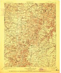
1898 Map of Standingstone
USGS Topo · Published 1912About this map
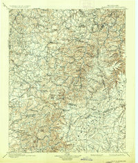
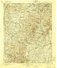
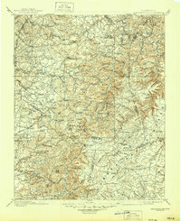
Livingston and Monterey anchor this late 19th-century survey of the Cumberland Plateau and the eastern Highland Rim. The landscape is defined by its deep coves and prominent ridges, where local life centered around settlements like Nettlecarrier, Oakley, and Hilham. The Nashville and Knoxville railroad carves through the southern terrain, providing a vital transport link for the timber and mineral resources found near The Horse Pound and Skinner Mountain.
Find a feature on this map
141 named features on this map. Tap any name to fly to it.
Don’t see what you’re looking for? This feature index may not catch every label — zoom into the map to look around manually.
Map Details
Editions of this 1898 Standingstone Map
8 editions found

Other maps of this area

1887 · Kingston
USGS Topo · 1:125,000

1891 · Kingston
USGS Topo · 1:125,000

1892 · Pikeville
USGS Topo · 1:125,000

1893 · Mc Minnville
USGS Topo · 1:125,000

1893 · Kingston
USGS Topo · 1:125,000

1895 · Wartburg
USGS Topo · 1:125,000

1895 · Mc Minnville
USGS Topo · 1:125,000

1895 · Pikeville
USGS Topo · 1:125,000

1896 · Wartburg
USGS Topo · 1:125,000

1897 · Standingstone
USGS Topo · 1:125,000