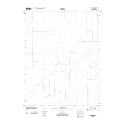
2010 Map of Alpine Ranch
USGS Topo · Published 2010About this map
Alpine Ranch serves as a primary marker in this high plains landscape of Cheyenne County, Colorado. The terrain is defined by the winding course of the North Fork Smoky Hill River, which cuts diagonally across the western half of the map. This drainage system is joined by Cow Creek to the east, illustrating the fundamental water patterns that dictate land use and settlement in this semi-arid region.
Find a feature on this map
21 named features on this map. Tap any name to fly to it.
Don’t see what you’re looking for? This feature index may not catch every label — zoom into the map to look around manually.
Map Details
Editions of this 2010 Alpine Ranch Map
This is the sole edition of this map. No revisions or reprints were ever made.
Other maps of this area

1891 · Kit Carson
USGS Topo · 1:125,000

1892 · Cheyenne Wells
USGS Topo · 1:125,000

1893 · Kit Carson
USGS Topo · 1:125,000

1894 · Cheyenne Wells
USGS Topo · 1:125,000

1954 · Limon
USGS Topo · 1:250,000

1954 · Lamar
USGS Topo · 1:250,000

1957 · Limon
USGS Topo · 1:250,000

1958 · Limon
USGS Topo · 1:250,000

1958 · Lamar
USGS Topo · 1:250,000

1969 · Alpine Ranch NE
USGS Topo · 1:24,000