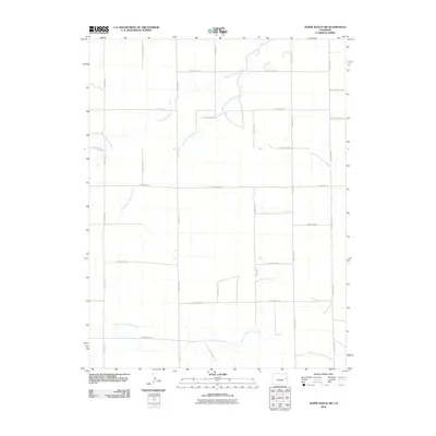
2010 Map of Alpine Ranch SW
USGS Topo · Published 2010About this map
The North Fork Smoky Hill River meanders across the southern portion of this Cheyenne County landscape, defining the local drainage system alongside Landsman Creek and the South Fork Landsman Creek. This survey captures the expansive, open character of eastern Colorado at the start of the 21st century, where the land is organized by a precise grid of rural routes. The map is dominated by these numbered thoroughfares, such as County Rd 25 and County Road C, which facilitated the agricultural and ranching operations central to the region's economy. The settlement pattern is sparse, reflecting the vast distances between homesteads in this part of the High Plains. While few structures are named, the intricate network of roads like County Road EE and County Road FF reveals the human effort to connect remote parcels across the water-carved terrain.
Find a feature on this map
22 named features on this map. Tap any name to fly to it.
Don’t see what you’re looking for? This feature index may not catch every label — zoom into the map to look around manually.
Map Details
Editions of this 2010 Alpine Ranch SW Map
This is the sole edition of this map. No revisions or reprints were ever made.
Other maps of this area

1891 · Kit Carson
USGS Topo · 1:125,000

1893 · Kit Carson
USGS Topo · 1:125,000

1954 · Limon
USGS Topo · 1:250,000

1954 · Lamar
USGS Topo · 1:250,000

1957 · Limon
USGS Topo · 1:250,000

1958 · Limon
USGS Topo · 1:250,000

1958 · Lamar
USGS Topo · 1:250,000

1969 · Alpine Ranch NE
USGS Topo · 1:24,000

1969 · Alpine Ranch
USGS Topo · 1:24,000

1979 · Stratton 3 SE
USGS Topo · 1:24,000