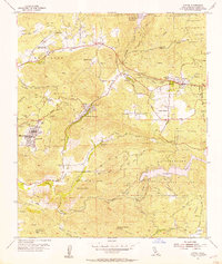
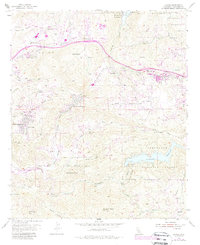
1955 Map of Alpine
USGS Topo · Published 1957About this map
Cleveland National Forest dominates the high ground in this mid-1950s survey of eastern San Diego County, where early residential developments began to cluster along the winding mountain roads. The community of Alpine is centered near Alpine Union High Sch, while more isolated ranching life is documented at Beynon Ranch, McClain Ranch, and Murphy Ranch. The map reveals the intricate water management of the era, from the Loveland Reservoir on the Sweetwater River to the El Capitan Reservoir at the northern edge. Significant cultural footprints are noted at the Sequan Indian Reservation and Capitan Grande Indian Res. Local industry and infrastructure are represented by the Oak Ridge Quarry, the Flinn Springs Fire Control Sta, and several scattered prospects tucked into the canyon walls.
Find a feature on this map
60 named features on this map. Tap any name to fly to it.
Don’t see what you’re looking for? This feature index may not catch every label — zoom into the map to look around manually.
Map Details
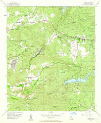
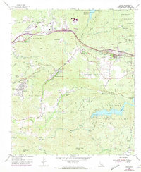
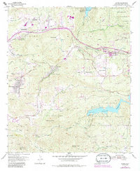
Editions of this 1955 Alpine Map
5 editions found
Other maps of this area

1893 · El Cajon
USGS Topo · 1:62,500

1901 · Elcajon
USGS Topo · 1:62,500

1903 · Cuyamaca
USGS Topo · 1:125,000

1903 · Elcajon
USGS Topo · 1:62,500

1904 · Southern California Sheet No. 2
USGS Topo · 1:250,000

1939 · El Cajon
USGS Topo · 1:62,500

1942 · Potrero
USGS Topo · 1:48,000

1942 · El Cajon
USGS Topo · 1:62,500

1942 · Cuyamaca Peak
USGS Topo · 1:62,500

1943 · Jamul
USGS Topo · 1:62,500