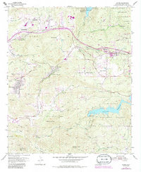
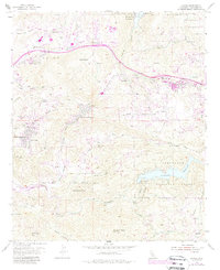
1955 Map of Alpine
USGS Topo · Published 1984About this map
Alpine and the surrounding foothill communities are documented here during a period of transition as mid-century rural ranching met suburban expansion. The landscape is defined by its water management and topography, anchored by the Loveland Reservoir to the southeast and El Capitan Reservoir at the northern edge. Numerous family ranch holdings, such as Beynon Ranch, McClain Ranch, and Cornelius Ranch, appear alongside established residential developments like Suncrest and Alpine Heights.
Find a feature on this map
60 named features on this map. Tap any name to fly to it.
Don’t see what you’re looking for? This feature index may not catch every label — zoom into the map to look around manually.
Map Details
Editions of this 1955 Alpine Map
5 editions found
Other maps of this area

1893 · El Cajon
USGS Topo · 1:62,500

1901 · Elcajon
USGS Topo · 1:62,500

1903 · Cuyamaca
USGS Topo · 1:125,000

1903 · Elcajon
USGS Topo · 1:62,500

1904 · Southern California Sheet No. 2
USGS Topo · 1:250,000

1939 · El Cajon
USGS Topo · 1:62,500

1942 · Potrero
USGS Topo · 1:48,000

1942 · El Cajon
USGS Topo · 1:62,500

1942 · Cuyamaca Peak
USGS Topo · 1:62,500

1943 · Jamul
USGS Topo · 1:62,500