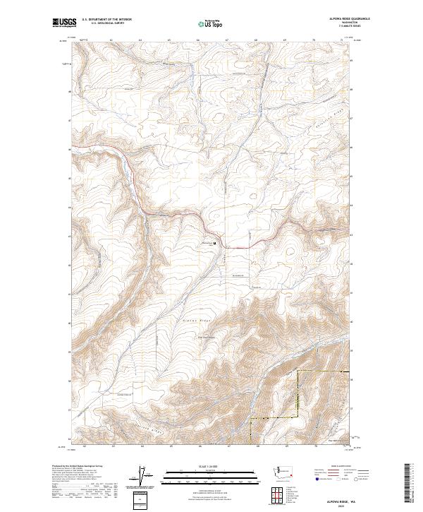
2023 Map of Alpowa Ridge
USGS Topo · Published 2023About this map
Alpowa Ridge and Darland Ridge dominate this corner of Garfield County, where the high prairie plateaus break into a complex system of deep gulches and canyons. The landscape is defined by its drainage patterns, with Pataha Creek and Alpowa Creek carving significant corridors through the terrain. A notable historic point of interest is the Philomathean Cem, situated along Nehber Rd in the heart of the upland farm country.
Find a feature on this map
44 named features on this map. Tap any name to fly to it.
Don’t see what you’re looking for? This feature index may not catch every label — zoom into the map to look around manually.
Map Details
Editions of this 2023 Alpowa Ridge Map
This is the sole edition of this map. No revisions or reprints were ever made.
Other maps of this area

1910 · Pullman
USGS Topo · 1:125,000

1937 · Pomeroy
USGS Topo · 1:96,000

1942 · Pomeroy
USGS Topo · 1:125,000

1943 · Peola
USGS Topo · 1:62,500

1946 · Peola
USGS Topo · 1:62,500

1950 · Penawawa
USGS Topo · 1:62,500

1955 · Pullman
USGS Topo · 1:250,000

1958 · Pullman
USGS Topo · 1:250,000

1964 · Kirby
USGS Topo · 1:24,000

1964 · Bishop
USGS Topo · 1:24,000