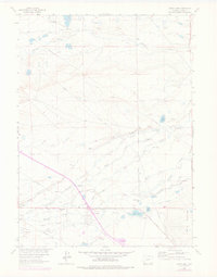
1963 Map of Alsop Lake
USGS Topo · Published 1978About this map
Herrick and the surrounding Albany County rangelands are defined by a complex network of water management and livestock ranching in this mid-century survey. The landscape is etched with irrigation features such as the Victoria Ditch, Alsop Ditch, and Poverty Flat DITCH, which diverted water from the Laramie River and Little Laramie River to support established family operations like the Bath Brothers Ranch and Sprague Ranch. These waterways reflect the essential hydraulic engineering required to sustain agriculture in the Big Basin region.
Find a feature on this map
39 named features on this map. Tap any name to fly to it.
Don’t see what you’re looking for? This feature index may not catch every label — zoom into the map to look around manually.
Map Details
Editions of this 1963 Alsop Lake Map
This is the sole edition of this map. No revisions or reprints were ever made.
Other maps of this area

1895 · Laramie
USGS Topo · 1:125,000

1902 · Laramie
USGS Topo · 1:125,000

1905 · Laramie
USGS Topo · 1:125,000

1906 · Laramie
USGS Topo · 1:125,000

1908 · Laramie
USGS Topo · 1:125,000

1954 · Cheyenne
USGS Topo · 1:250,000

1955 · Bosler
USGS Topo · 1:24,000

1955 · Big Judson
USGS Topo · 1:24,000

1955 · Cooper Lake South
USGS Topo · 1:24,000

1958 · Cheyenne
USGS Topo · 1:250,000