
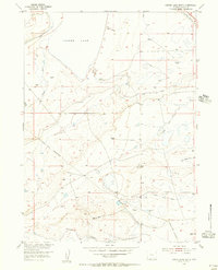
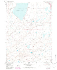
1955 Map of Cooper Lake South
USGS Topo · Published 1956About this map
Cooper Lake dominates the high plains of Albany County in this mid-century survey, a period when the landscape was defined by the intersection of early industrial transit and ranching infrastructure. The Union Pacific railroad cuts through the northeastern corner, marking the primary transportation artery for the region. The map reveals a complex water management system essential for high-altitude livestock operations, including the Homer Ditch, James Lake North Canal, and various other ditches and windmills scattered across the sections.
Find a feature on this map
14 named features on this map. Tap any name to fly to it.
Don’t see what you’re looking for? This feature index may not catch every label — zoom into the map to look around manually.
Map Details
Editions of this 1955 Cooper Lake South Map
3 editions found
Other maps of this area

1895 · Laramie
USGS Topo · 1:125,000

1902 · Laramie
USGS Topo · 1:125,000

1905 · Laramie
USGS Topo · 1:125,000

1906 · Laramie
USGS Topo · 1:125,000

1908 · Laramie
USGS Topo · 1:125,000

1954 · Cheyenne
USGS Topo · 1:250,000

1955 · Bosler
USGS Topo · 1:24,000

1955 · Big Judson
USGS Topo · 1:24,000

1955 · Cooper Lake North
USGS Topo · 1:24,000

1955 · Lake Ione
USGS Topo · 1:24,000