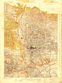
1928 Map of Altadena
USGS Topo · Published 1928About this map
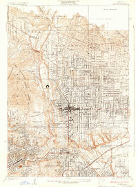
The Rose Bowl sits near the head of the Arroyo Seco in this late 1920s survey, marking a period of significant growth for the northern San Gabriel Valley. The landscape transitions from the residential grids of Pasadena and Altadena into the steep rises of the San Rafael Hills and the Angeles National Forest. Institutional life is well established, from the California Institute of Technology and Annandale Military Academy to the extensive Huntington Estate near San Marino.
Find a feature on this map
45 named features on this map. Tap any name to fly to it.
Don’t see what you’re looking for? This feature index may not catch every label — zoom into the map to look around manually.
Map Details
Editions of this 1928 Altadena Map
2 editions found
Other maps of this area

1894 · Los Angeles
USGS Topo · 1:62,500

1896 · Pasadena
USGS Topo · 1:62,500

1900 · Pasadena
USGS Topo · 1:62,500

1900 · Los Angeles
USGS Topo · 1:62,500

1901 · Southern California Sheet No. 1
USGS Topo · 1:250,000

1904 · Southern California Sheet No. 1
USGS Topo · 1:250,000
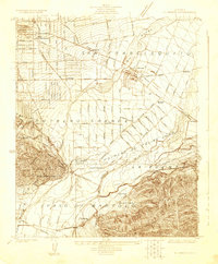
1923 · El Monte
USGS Topo · 1:24,000
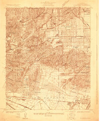
1924 · Alhambra
USGS Topo · 1:24,000
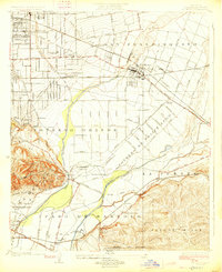
1926 · El Monte
USGS Topo · 1:24,000
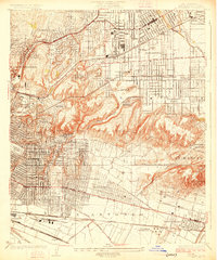
1926 · Alhambra
USGS Topo · 1:24,000