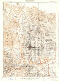
1928 Map of Altadena
USGS Topo · Published 1928About this map
Pasadena and its neighboring communities are captured here during a period of significant growth and cultural establishment. The urban grid is densely packed with civic and academic institutions, including the early campus of the California Institute of Technology and several prestigious private clubs such as the Flintridge Country Club. The natural geography of the Arroyo Seco and the San Rafael Hills dictates the development patterns, with the iconic Rose Bowl and Brookside Park situated in the basin below the massive Devils Gate Dam.
Find a feature on this map
52 named features on this map. Tap any name to fly to it.
Don’t see what you’re looking for? This feature index may not catch every label — zoom into the map to look around manually.
Map Details
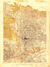
Editions of this 1928 Altadena Map
2 editions found
Other maps of this area

1894 · Los Angeles
USGS Topo · 1:62,500

1896 · Pasadena
USGS Topo · 1:62,500

1900 · Pasadena
USGS Topo · 1:62,500

1900 · Los Angeles
USGS Topo · 1:62,500

1901 · Southern California Sheet No. 1
USGS Topo · 1:250,000

1904 · Southern California Sheet No. 1
USGS Topo · 1:250,000
1923 · El Monte
USGS Topo · 1:24,000
1924 · Alhambra
USGS Topo · 1:24,000
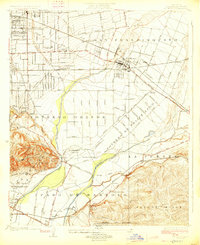
1926 · El Monte
USGS Topo · 1:24,000
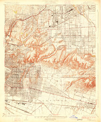
1926 · Alhambra
USGS Topo · 1:24,000