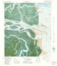
1979 Map of Altamaha Sound
USGS Topo · Published 1979About this map
Wolf Island National Wildlife Refuge and Wilderness Area dominates this coastal survey, preserving a complex network of barrier islands and salt marshes where the Altamaha River meets the Atlantic Ocean. This orthophotomap combines traditional topographic detail with aerial photography, revealing the intricate tidal hydrology of the Intracoastal Waterway as it snakes through Buttermilk Sound and past Rockdedundy Island.
Find a feature on this map
38 named features on this map. Tap any name to fly to it.
Don’t see what you’re looking for? This feature index may not catch every label — zoom into the map to look around manually.
Map Details
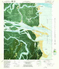
Editions of this 1979 Altamaha Sound Map
2 editions found
Other maps of this area

1920 · Cabretta Island
USGS Topo · 1:62,500

1921 · Darien
USGS Topo · 1:62,500

1944 · Cabretta Island
USGS Topo · 1:62,500

1945 · Brunswick
USGS Topo · 1:62,500

1946 · Brunswick
USGS Topo · 1:250,000

1948 · Brunswick
USGS Topo · 1:250,000

1954 · Altamaha Sound
USGS Topo · 1:24,000
1954 · Doboy Sound
USGS Topo · 1:24,000
1954 · Ridgeville
USGS Topo · 1:24,000

1954 · Cabretta Inlet
USGS Topo · 1:24,000