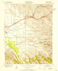
1953 Map of Altamont
USGS Topo · Published 1954About this map
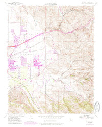
Livermore Valley serves as a critical transportation corridor during the early 1950s, defined by the heavy rail lines of the Southern Pacific and Western Pacific as they navigate the elevations of Altamont Pass. The landscape is a mix of agricultural utility and early infrastructure, featuring the Abandoned Airfield situated near Greenville Road. Water management and natural drainages like Arroyo Mocho and Arroyo Seco carve through the foothills of Crane Ridge, illustrating the complex topography that early California engineers like A. D. Edmonston sought to manage. The presence of rural institutions such as Summit Sch and Green Dist School highlights the small-scale community structure existing alongside major transit arteries and the settlement at Altamont.
Find a feature on this map
34 named features on this map. Tap any name to fly to it.
Don’t see what you’re looking for? This feature index may not catch every label — zoom into the map to look around manually.
Map Details
Editions of this 1953 Altamont Map
10 editions found
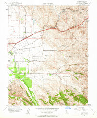
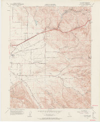
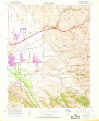
Other maps of this area

1896 · Mt. Diablo
USGS Topo · 1:62,500

1898 · Mt. Diablo
USGS Topo · 1:62,500

1906 · Pleasanton
USGS Topo · 1:62,500

1907 · Tesla
USGS Topo · 1:62,500

1911 · Byron Hot Springs
USGS Topo · 1:31,680

1914 · Bethany
USGS Topo · 1:31,680

1916 · Byron Hot Springs
USGS Topo · 1:31,680

1916 · Byron
USGS Topo · 1:62,500

1916 · Midway
USGS Topo · 1:31,680

1940 · Byron
USGS Topo · 1:62,500