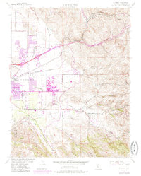
1953 Map of Altamont
USGS Topo · Published 1985About this map
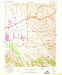
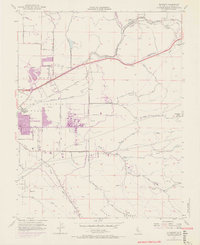
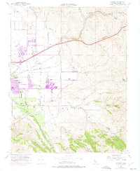
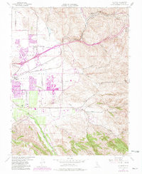
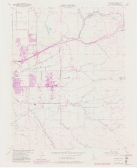
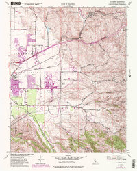
Altamont Pass serves as the primary corridor through the hills on this 1953 topographic study, updated in the early 1980s to show the expanding footprint of Livermore. The eastern edge of the Livermore Valley is dominated by the sprawling complex of the Lawrence Radiation Laboratory, a site that defines the region's mid-century shift toward scientific research. The transportation network is highly developed, featuring the parallel routes of the Southern Pacific and Western Pacific railroads alongside Scenic Ave and Tesla Road. Away from the urbanizing valley floor, the landscape rises into the ridges where Patterson Pass and Crane Ridge overlook seasonal waterways like Arroyo Mocho and Arroyo Seco. Local infrastructure is noted by several neighborhood schools, including Summit Sch and Green Sch, along with industrial markers such as the Filtration Plant and Landing Strip near the Patterson Reservoir.
Find a feature on this map
32 named features on this map. Tap any name to fly to it.
Don’t see what you’re looking for? This feature index may not catch every label — zoom into the map to look around manually.
Map Details
Editions of this 1953 Altamont Map
10 editions found
Other maps of this area

1896 · Mt. Diablo
USGS Topo · 1:62,500

1898 · Mt. Diablo
USGS Topo · 1:62,500

1906 · Pleasanton
USGS Topo · 1:62,500

1907 · Tesla
USGS Topo · 1:62,500

1911 · Byron Hot Springs
USGS Topo · 1:31,680

1914 · Bethany
USGS Topo · 1:31,680

1916 · Byron Hot Springs
USGS Topo · 1:31,680

1916 · Byron
USGS Topo · 1:62,500

1916 · Midway
USGS Topo · 1:31,680

1940 · Byron
USGS Topo · 1:62,500