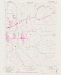
1953 Map of Altamont
USGS Topo · Published 1981About this map
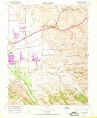
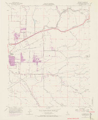
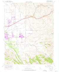
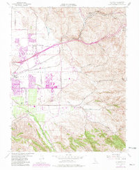
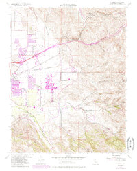
The Lawrence Radiation Laboratory (University of California) stands as a massive technical anchor on the eastern edge of Livermore, representing a transformative era of scientific expansion in the Las Positas Valley. This 1953 survey, photorevised in 1981, captures the transition of the landscape as suburban growth begins to encroach on traditional ranch lands. Water infrastructure is a dominant theme, with the South Bay Aqueduct and Patterson Reservoir cutting through the terrain to support the growing population. To the east, the rugged topography of Altamont Pass and Patterson Pass is defined by the Southern Pacific railroad line and a network of rural schools such as Summit Sch and Green Sch. Small railroad settlements like Ulmar and Redmond Cut mark the path toward the San Joaquin Valley, while the seasonal drainage of Arroyo Seco and Arroyo Mocho dictates the historical rural road patterns.
Find a feature on this map
38 named features on this map. Tap any name to fly to it.
Don’t see what you’re looking for? This feature index may not catch every label — zoom into the map to look around manually.
Map Details
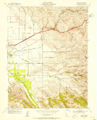
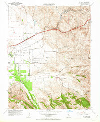
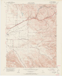
Editions of this 1953 Altamont Map
10 editions found
Other maps of this area

1896 · Mt. Diablo
USGS Topo · 1:62,500

1898 · Mt. Diablo
USGS Topo · 1:62,500

1906 · Pleasanton
USGS Topo · 1:62,500

1907 · Tesla
USGS Topo · 1:62,500

1911 · Byron Hot Springs
USGS Topo · 1:31,680

1914 · Bethany
USGS Topo · 1:31,680

1916 · Byron Hot Springs
USGS Topo · 1:31,680

1916 · Byron
USGS Topo · 1:62,500

1916 · Midway
USGS Topo · 1:31,680

1940 · Byron
USGS Topo · 1:62,500