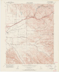
1953 Map of Altamont
USGS Topo · Published 1963About this map
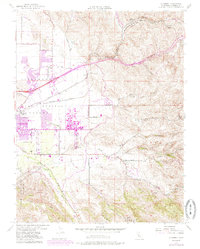
Altamont Pass serves as the central focal point of this mid-century topographic study, where the Southern Pacific and Western Pacific railroads navigate the complex terrain of the Diablo Range. The landscape is a transition between the Las Positas Valley and the higher elevations of Crane Ridge, marked by a network of ranch roads and rural infrastructure. Local education is represented by the Summit Sch and Green Dist School, while the era's agricultural and industrial character is evident at a winery near the valley floor and a gravel pit along the roads leading to Livermore.
Find a feature on this map
36 named features on this map. Tap any name to fly to it.
Don’t see what you’re looking for? This feature index may not catch every label — zoom into the map to look around manually.
Map Details
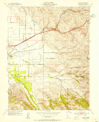
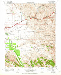
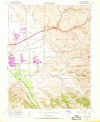
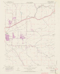
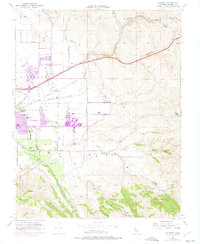
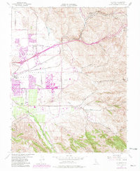
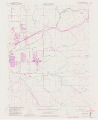
Editions of this 1953 Altamont Map
10 editions found
Other maps of this area

1896 · Mt. Diablo
USGS Topo · 1:62,500

1898 · Mt. Diablo
USGS Topo · 1:62,500

1906 · Pleasanton
USGS Topo · 1:62,500

1907 · Tesla
USGS Topo · 1:62,500

1911 · Byron Hot Springs
USGS Topo · 1:31,680

1914 · Bethany
USGS Topo · 1:31,680

1916 · Byron Hot Springs
USGS Topo · 1:31,680

1916 · Byron
USGS Topo · 1:62,500

1916 · Midway
USGS Topo · 1:31,680

1940 · Byron
USGS Topo · 1:62,500