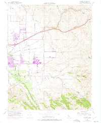
1953 Map of Altamont
USGS Topo · Published 1975About this map
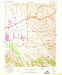
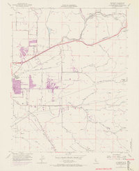
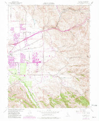
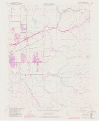
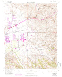
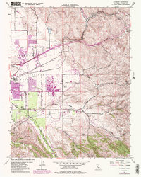
Las Positas Valley serves as the focal point for this mid-century survey, showcasing the early expansion of Livermore and the massive footprint of the Lawrence Radiation Laboratory University of California. The map details a landscape transitioning from an agricultural economy, evidenced by a Winery and rural schools like Green Sch and Summit Sch, toward modern infrastructure. Notable water management systems including the South Bay Aqueduct and Patterson Reservoir are shown carving through the terrain near Ulmar. Transport routes are anchored by the parallel tracks of the Southern Pacific and Western Pacific railroads, which negotiate the climb toward Altamont Pass. This documentation is particularly valuable for tracing the growth of research facilities alongside traditional ranching and small settlements like Trevarno before the full suburbanization of the eastern San Francisco Bay area.
Find a feature on this map
38 named features on this map. Tap any name to fly to it.
Don’t see what you’re looking for? This feature index may not catch every label — zoom into the map to look around manually.
Map Details
Editions of this 1953 Altamont Map
10 editions found
Other maps of this area

1896 · Mt. Diablo
USGS Topo · 1:62,500

1898 · Mt. Diablo
USGS Topo · 1:62,500

1906 · Pleasanton
USGS Topo · 1:62,500

1907 · Tesla
USGS Topo · 1:62,500

1911 · Byron Hot Springs
USGS Topo · 1:31,680

1914 · Bethany
USGS Topo · 1:31,680

1916 · Byron Hot Springs
USGS Topo · 1:31,680

1916 · Byron
USGS Topo · 1:62,500

1916 · Midway
USGS Topo · 1:31,680

1940 · Byron
USGS Topo · 1:62,500