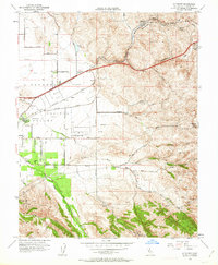
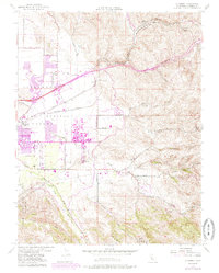
1953 Map of Altamont
USGS Topo · Published 1963About this map
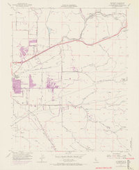
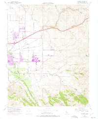
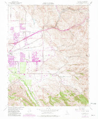
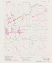
The Altamont Pass serves as the focal point of this mid-century survey, where the Southern Pacific and Western Pacific railroads converge to cross the eastern edge of the Livermore Valley. The landscape is defined by the sharp transition from the valley floor to the ridgelines of Crane Ridge, with watercourses like Arroyo Seco and Arroyo Mocho carving through the hills. This era reveals a mix of early agricultural development and infrastructure, including a winery, several windmills, and an Abandoned Airfield situated east of the Livermore boundary.
Find a feature on this map
37 named features on this map. Tap any name to fly to it.
Don’t see what you’re looking for? This feature index may not catch every label — zoom into the map to look around manually.
Map Details
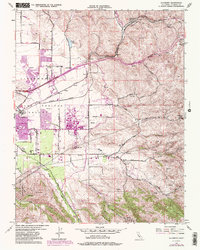
Editions of this 1953 Altamont Map
10 editions found
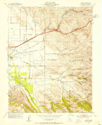
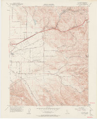
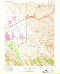
Other maps of this area

1896 · Mt. Diablo
USGS Topo · 1:62,500

1898 · Mt. Diablo
USGS Topo · 1:62,500

1906 · Pleasanton
USGS Topo · 1:62,500

1907 · Tesla
USGS Topo · 1:62,500

1911 · Byron Hot Springs
USGS Topo · 1:31,680

1914 · Bethany
USGS Topo · 1:31,680

1916 · Byron Hot Springs
USGS Topo · 1:31,680

1916 · Byron
USGS Topo · 1:62,500

1916 · Midway
USGS Topo · 1:31,680

1940 · Byron
USGS Topo · 1:62,500