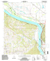
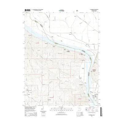
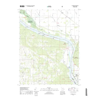
1994 Map of Altenburg
USGS Topo · Published 1996About this map
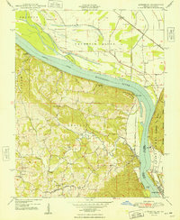
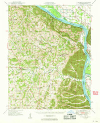
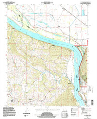
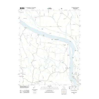
Altenburg and Frohna anchor the high ground in Perry County, Missouri, while the Mississippi River defines the dramatic eastern edge of this mid-1990s landscape. The river's course is shaped by an extensive levee system and several islands, including Wilkinson Island and Hat Island. This map reveals the historical river-access points that once served the region, such as Leimbach Landing and Brunkhorst Landing, now situated along the bluffs north of Wittenberg.
Find a feature on this map
38 named features on this map. Tap any name to fly to it.
Don’t see what you’re looking for? This feature index may not catch every label — zoom into the map to look around manually.
Map Details
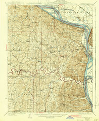
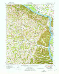
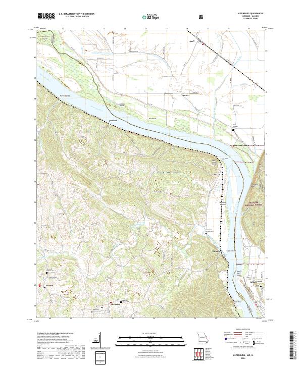
Editions of this 1994 Altenburg Map
2 editions found
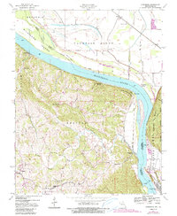
Historical Maps of Grand Tower Through Time
11 maps found

1918 Altenburg
Perry County, MO
1925 Altenburg
Perry County, MO
1947 Altenburg
Perry County, MO
1947 Altenburg
Perry County, MO
1948 Altenburg
Perry County, MO
1949 Altenburg
Perry County, MO
1994 Altenburg
Perry County, MO
2012 Altenburg
Perry County, MO
2015 Altenburg
Perry County, MO
2017 Altenburg
Perry County, MO
2021 Altenburg
Perry County, MO