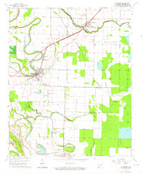
1964 Map of Altheimer
USGS Topo · Published 1965About this map
The agricultural landscape of eastern Jefferson County is defined by the winding course of Wabbaseka Bayou and Flat Bayou in the mid-1960s. The town of Altheimer serves as a central hub, situated where the St Louis Southwestern railroad cuts through the alluvial plain. Nearby, the settlement of Newtown and landmarks like Lake Dick reflect the area's rural development and water management.
Find a feature on this map
42 named features on this map. Tap any name to fly to it.
Don’t see what you’re looking for? This feature index may not catch every label — zoom into the map to look around manually.
Map Details
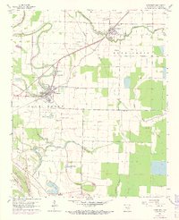
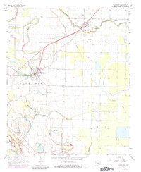
Editions of this 1964 Altheimer Map
3 editions found
Other maps of this area

1935 · Altheimer
USGS Topo · 1:62,500

1935 · Varner
USGS Topo · 1:62,500

1935 · Noble Lake
USGS Topo · 1:62,500

1941 · Goldman
USGS Topo · 1:62,500

1948 · Helena
USGS Topo · 1:250,000

1950 · Helena
USGS Topo · 1:250,000

1955 · Helena
USGS Topo · 1:250,000

1959 · Helena
USGS Topo · 1:250,000

1960 · Helena
USGS Topo · 1:250,000
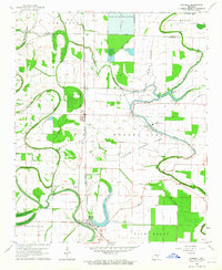
1963 · Sherrill
USGS Topo · 1:24,000