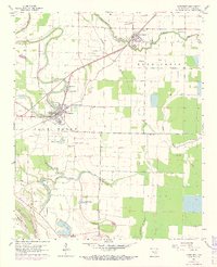
1964 Map of Altheimer
USGS Topo · Published 1973About this map
St Louis Southwestern tracks dominate this Delta landscape, linking the rail towns of Altheimer and Wabaseka across a network of meandering bayous. This mid-century survey reveals an intensive agricultural pattern defined by irrigation flumes and drainage ditches, where the terrain is segmented by Flat Bayou, Wabbaseka Bayou, and the Old Channel Plum Bayou. The area is notably dense with community centers, including Walker High School and Martin High School, alongside numerous country congregations like Tabernacle Ch and Damascus Ch. Local family history is rooted in the region's many burial grounds, such as Turrentine Cem and Bloomy Shade Cem. The southern reach of the map features several oxbow lakes, most notably Lake Dick and Lytle Lake, illustrating the shifting course of the regional waterways before modern stabilization.
Find a feature on this map
41 named features on this map. Tap any name to fly to it.
Don’t see what you’re looking for? This feature index may not catch every label — zoom into the map to look around manually.
Map Details
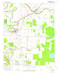
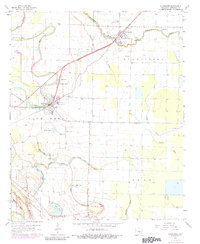
Editions of this 1964 Altheimer Map
3 editions found
Other maps of this area

1935 · Altheimer
USGS Topo · 1:62,500

1935 · Varner
USGS Topo · 1:62,500

1935 · Noble Lake
USGS Topo · 1:62,500

1941 · Goldman
USGS Topo · 1:62,500

1948 · Helena
USGS Topo · 1:250,000

1950 · Helena
USGS Topo · 1:250,000

1955 · Helena
USGS Topo · 1:250,000

1959 · Helena
USGS Topo · 1:250,000

1960 · Helena
USGS Topo · 1:250,000
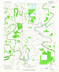
1963 · Sherrill
USGS Topo · 1:24,000