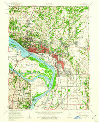
1955 Map of Alton
USGS Topo · Published 1960About this map
The confluence of the Mississippi River and the Missouri River shapes the industrial and topographic character of this mid-1950s survey. Significant river engineering is evident through the Chain of Rocks Canal and the Cahokia Diversion Channel, supporting a heavy industrial corridor that includes an Oil Refinery near Roxana and Wood River. The landscape reflects a mix of institutional and civic growth, featuring Monticello College in Godfrey and the sprawling Alton State Hospital to the north of the city.
Find a feature on this map
132 named features on this map. Tap any name to fly to it.
Don’t see what you’re looking for? This feature index may not catch every label — zoom into the map to look around manually.
Map Details
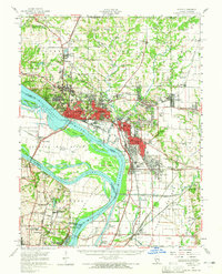
Editions of this 1955 Alton Map
2 editions found
Other maps of this area

1888 · St. Louis
USGS Topo · 1:62,500

1907 · Belleville
USGS Topo · 1:62,500

1912 · Gillespie
USGS Topo · 1:62,500

1915 · Gillespie
USGS Topo · 1:62,500

1925 · Brighton
USGS Topo · 1:62,500

1927 · Alton
USGS Topo · 1:62,500

1927 · St. Charles
USGS Topo · 1:62,500

1927 · Edwardsville
USGS Topo · 1:62,500

1928 · Brighton
USGS Topo · 1:62,500

1930 · Jerseyville
USGS Topo · 1:62,500