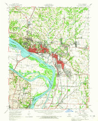
1955 Map of Alton
USGS Topo · Published 1965About this map
Industrial expansion along the Mississippi River and Missouri River confluence defines this mid-century landscape. Major infrastructure like Lock and Dam No 26 and the Clark Bridge (Toll) facilitate heavy commerce, while the massive Oil Refinery at Roxana and Wood River illustrates the region's role as a refining hub. The map shows the dense urban corridors of Alton and East Alton giving way to the educational and rural institutional grounds of Monticello College and the St Louis State Training Sch in Missouri. Numerous islands and sloughs, such as Maple Island and Cora Island Chute, dominate the river valley before the modern stabilization of the floodplains. To the north, the terrain transitions into the agricultural uplands of Fosterburg and Godfrey, marked by scattered one-room schools like Mason Sch and Bockstruck Sch.
Find a feature on this map
132 named features on this map. Tap any name to fly to it.
Don’t see what you’re looking for? This feature index may not catch every label — zoom into the map to look around manually.
Map Details
Editions of this 1955 Alton Map
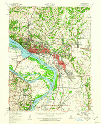
2 editions found
Other maps of this area

1888 · St. Louis
USGS Topo · 1:62,500

1907 · Belleville
USGS Topo · 1:62,500

1912 · Gillespie
USGS Topo · 1:62,500

1915 · Gillespie
USGS Topo · 1:62,500

1925 · Brighton
USGS Topo · 1:62,500

1927 · Alton
USGS Topo · 1:62,500

1927 · St. Charles
USGS Topo · 1:62,500

1927 · Edwardsville
USGS Topo · 1:62,500

1928 · Brighton
USGS Topo · 1:62,500

1930 · Jerseyville
USGS Topo · 1:62,500