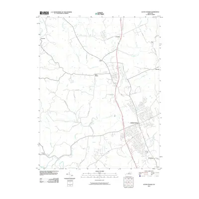
2010 Map of Alton Station
USGS Topo · Published 2010About this map
Lawrenceburg serves as the primary hub of this Anderson County landscape, where the US Route 127 Bypass carves a modern corridor through established Kentucky settlements. The map illustrates a transition between the concentrated residential streets of the city and the outlying communities of Alton Station, Alton, and Avenstoke. This 2010 survey reflects a period of expansion, where suburban developments are appearing alongside older markers of rural life like the Woodlawn Hills Cemetery and the former industrial sites of Lanes Mill.
Find a feature on this map
43 named features on this map. Tap any name to fly to it.
Don’t see what you’re looking for? This feature index may not catch every label — zoom into the map to look around manually.
Map Details
Editions of this 2010 Alton Station Map
This is the sole edition of this map. No revisions or reprints were ever made.
Other maps of this area

1905 · Harrodsburg
USGS Topo · 1:125,000

1922 · Frankfort
USGS Topo · 1:48,000

1923 · Waddy
USGS Topo · 1:48,000

1924 · Frankfort
USGS Topo · 1:62,500

1925 · Mount Eden
USGS Topo · 1:48,000

1927 · Mount Eden
USGS Topo · 1:62,500

1951 · Lawrenceburg
USGS Topo · 1:24,000

1952 · Ashbrook
USGS Topo · 1:24,000

1952 · Salvisa
USGS Topo · 1:24,000

1952 · Mc Brayer
USGS Topo · 1:24,000