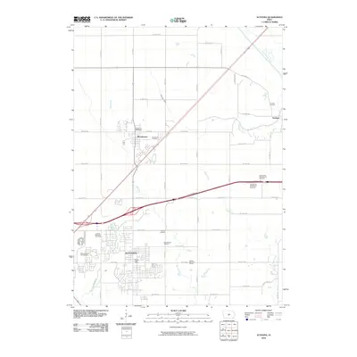
2010 Map of Altoona
USGS Topo · Published 2010About this map
Altoona and Bondurant anchor this portion of the Iowa landscape just as suburban expansion began to more fully integrate these once-distinct agricultural centers. The map documents the extensive transportation and recreation infrastructure that defines the modern character of the area, including the Prairie Meadows Racetrack and the Adventureland Campground on the western edge of the city. While residential developments are clearly expanding, the presence of several cemeteries, such as the Franklin Cemetery and Bondurant Cemetery, provide essential points of reference for genealogical research and local history.
Find a feature on this map
41 named features on this map. Tap any name to fly to it.
Don’t see what you’re looking for? This feature index may not catch every label — zoom into the map to look around manually.
Map Details
Editions of this 2010 Altoona Map
This is the sole edition of this map. No revisions or reprints were ever made.
Other maps of this area

1905 · Des Moines
USGS Topo · 1:62,500

1907 · Des Moines
USGS Topo · 1:62,500

1911 · Slater
USGS Topo · 1:62,500

1913 · Slater
USGS Topo · 1:62,500

1930 · Mitchellville
USGS Topo · 1:62,500

1954 · Des Moines
USGS Topo · 1:250,000

1956 · Des Moines
USGS Topo · 1:250,000

1956 · Des Moines SE
USGS Topo · 1:24,000

1956 · Des Moines NE
USGS Topo · 1:24,000

1956 · Des Moines
USGS Topo · 1:62,500