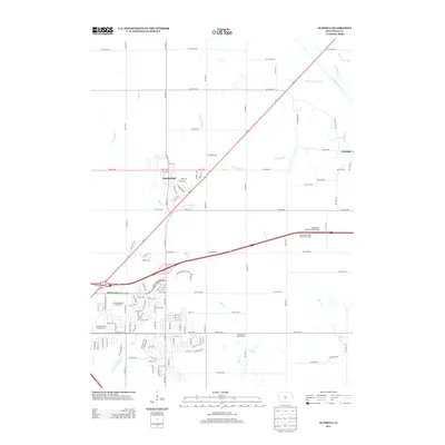
2013 Map of Altoona
USGS Topo · Published 2013About this map
Bondurant and the small community of Santiago anchor this 2013 study of the eastern Des Moines metropolitan fringe in Polk County. The landscape is a study in suburban expansion and specialized land use, where former agricultural fields meet major recreational and transit infrastructure. Notable landmarks include the Prairie Meadows Racetrack and the Adventureland Campground, which dominate the southwestern corner of the quadrangle.
Find a feature on this map
119 named features on this map. Tap any name to fly to it.
Don’t see what you’re looking for? This feature index may not catch every label — zoom into the map to look around manually.
Map Details
Editions of this 2013 Altoona Map
This is the sole edition of this map. No revisions or reprints were ever made.
Other maps of this area

1905 · Des Moines
USGS Topo · 1:62,500

1907 · Des Moines
USGS Topo · 1:62,500

1911 · Slater
USGS Topo · 1:62,500

1913 · Slater
USGS Topo · 1:62,500

1930 · Mitchellville
USGS Topo · 1:62,500

1954 · Des Moines
USGS Topo · 1:250,000

1956 · Des Moines
USGS Topo · 1:250,000

1956 · Des Moines SE
USGS Topo · 1:24,000

1956 · Des Moines NE
USGS Topo · 1:24,000

1956 · Des Moines
USGS Topo · 1:62,500