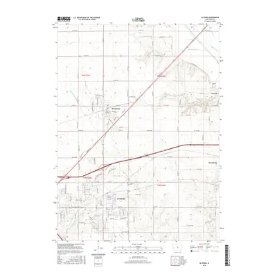
2015 Map of Altoona
USGS Topo · Published 2015About this map
Altoona and Bondurant anchor this portion of the Iowa landscape, displaying the organized grid of the Midwest’s agricultural heartland. The map documents a territory defined by a complex system of water management, visible in the engineered pathways of Ditch Number 6, Ditch Number 24, and Ditch Number 38, which support the fertile drainage basins of the South Skunk River and Mud Cr. These ditches reflect the intensive land use required for large-scale farming in the region.
Find a feature on this map
112 named features on this map. Tap any name to fly to it.
Don’t see what you’re looking for? This feature index may not catch every label — zoom into the map to look around manually.
Map Details
Editions of this 2015 Altoona Map
This is the sole edition of this map. No revisions or reprints were ever made.
Other maps of this area

1905 · Des Moines
USGS Topo · 1:62,500

1907 · Des Moines
USGS Topo · 1:62,500

1911 · Slater
USGS Topo · 1:62,500

1913 · Slater
USGS Topo · 1:62,500

1930 · Mitchellville
USGS Topo · 1:62,500

1954 · Des Moines
USGS Topo · 1:250,000

1956 · Des Moines
USGS Topo · 1:250,000

1956 · Des Moines SE
USGS Topo · 1:24,000

1956 · Des Moines NE
USGS Topo · 1:24,000

1956 · Des Moines
USGS Topo · 1:62,500