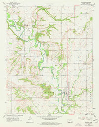
1959 Map of Altoona
USGS Topo · Published 1977About this map
The Verdigris River winds south through Wilson County, defining the agricultural and industrial landscape of late 1950s Kansas. The town of Altoona serves as a local hub, situated near the confluence of Cedar Creek and Little Cedar Creek. The presence of numerous Oil Wells and several Quarries scattered across the township boundaries of Guilford and Cedar indicates a diversified local economy where natural resource extraction met traditional prairie farming.
Find a feature on this map
25 named features on this map. Tap any name to fly to it.
Don’t see what you’re looking for? This feature index may not catch every label — zoom into the map to look around manually.
Map Details
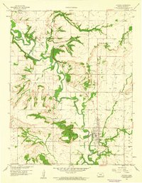
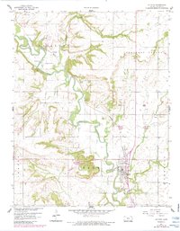
Editions of this 1959 Altoona Map
3 editions found
Other maps of this area

1886 · Fredonia
USGS Topo · 1:125,000

1886 · Independence
USGS Topo · 1:125,000

1894 · Fredonia
USGS Topo · 1:125,000

1894 · Independence
USGS Topo · 1:125,000

1905 · Independence
USGS Topo · 1:125,000

1938 · Fredonia
USGS Topo · 1:62,500

1938 · Altoona
USGS Topo · 1:62,500

1939 · Altoona
USGS Topo · 1:48,000

1939 · Fredonia
USGS Topo · 1:48,000

1942 · Fredonia
USGS Topo · 1:62,500