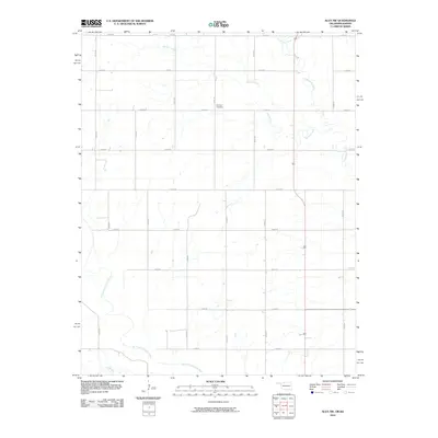
2010 Map of Alva NW
USGS Topo · Published 2010About this map
Salt Fork Arkansas River flows through the southern reaches of this landscape on the Kansas-Oklahoma border, providing the primary drainage for a region defined by its rigid section-line road network. The rural character of this area in the early 21st century is defined by vast agricultural plots partitioned by roads such as n2430 RD and e0050 RD. High atop a central rise sits Fairview Cemetery, a significant landmark for local genealogical research and a quiet indicator of the longstanding farming community. Multiple smaller watercourses, including Spring Creek, Boggy Creek, and Driftwood Creek, carve subtle dendritic patterns across the plains, influencing the placement of homesteads and crossing points within the strictly gridded survey system.
Find a feature on this map
20 named features on this map. Tap any name to fly to it.
Don’t see what you’re looking for? This feature index may not catch every label — zoom into the map to look around manually.
Map Details
Editions of this 2010 Alva NW Map
This is the sole edition of this map. No revisions or reprints were ever made.
Other maps of this area

1891 · Medicine Lodge
USGS Topo · 1:125,000

1893 · Medicine Lodge
USGS Topo · 1:125,000

1955 · Woodward
USGS Topo · 1:250,000

1955 · Pratt
USGS Topo · 1:250,000

1958 · Woodward
USGS Topo · 1:250,000

1959 · Pratt
USGS Topo · 1:250,000

1968 · Capron
USGS Topo · 1:24,000

1969 · Tegarden NE
USGS Topo · 1:24,000

1969 · Tegarden SE
USGS Topo · 1:24,000

1969 · Alva SE
USGS Topo · 1:24,000