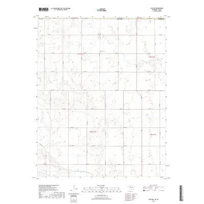
2018 Map of Alva NW
USGS Topo · Published 2018About this map
The Salt Fork Arkansas River carves through the southwestern portion of this borderland landscape, where the Oklahoma-Kansas state line divides Woods County and Barber County. This agrarian corridor is defined by a rigid section-line road grid, including routes like Stateline Rd, Osage Rd, and Mcclain Rd, which provide access to remote farmsteads and rangelands. The terrain is deeply dissected by drainage systems such as Spring Cr, Driftwood Cr, and Boggy Cr, creating a complex topography of draws and ridges that break the flat prairie. A key focal point for local history is Fairview Cem, situated in the northern half of the quadrangle. Other natural landmarks like Buffalo Spring suggest the importance of reliable water sources in this dry, open country at the edge of the southern plains.
Find a feature on this map
32 named features on this map. Tap any name to fly to it.
Don’t see what you’re looking for? This feature index may not catch every label — zoom into the map to look around manually.
Map Details
Editions of this 2018 Alva NW Map
This is the sole edition of this map. No revisions or reprints were ever made.
Other maps of this area

1891 · Medicine Lodge
USGS Topo · 1:125,000

1893 · Medicine Lodge
USGS Topo · 1:125,000

1955 · Woodward
USGS Topo · 1:250,000

1955 · Pratt
USGS Topo · 1:250,000

1958 · Woodward
USGS Topo · 1:250,000

1959 · Pratt
USGS Topo · 1:250,000

1968 · Capron
USGS Topo · 1:24,000

1969 · Tegarden NE
USGS Topo · 1:24,000

1969 · Tegarden SE
USGS Topo · 1:24,000

1969 · Alva SE
USGS Topo · 1:24,000