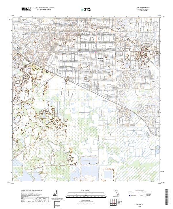
2024 Map of Alva SW
USGS Topo · Published 2024About this map
The residential grids of Lehigh Acres and the planned community of Gateway define this modern landscape in Lee County. These sprawling suburban developments are centered around a network of canals and managed water bodies like Able Canal and Halfway Pond, reflecting the engineering required for Florida's inland growth. The western edge of the sheet is dominated by the perimeter of the Southwest Florida International Airport, a major regional transportation hub that borders the residential expansion.
Find a feature on this map
17 named features on this map. Tap any name to fly to it.
Don’t see what you’re looking for? This feature index may not catch every label — zoom into the map to look around manually.
Map Details
Editions of this 2024 Alva SW Map
This is the sole edition of this map. No revisions or reprints were ever made.
Other maps of this area

1956 · West Palm Beach
USGS Topo · 1:250,000

1957 · West Palm Beach
USGS Topo · 1:250,000

1958 · West Palm Beach
USGS Topo · 1:250,000

1958 · Corkscrew NW
USGS Topo · 1:24,000

1958 · Estero
USGS Topo · 1:24,000

1958 · Olga
USGS Topo · 1:24,000

1958 · Alva SW
USGS Topo · 1:24,000

1958 · Fort Myers
USGS Topo · 1:24,000

1958 · Alva
USGS Topo · 1:24,000

1958 · Alva SE
USGS Topo · 1:24,000