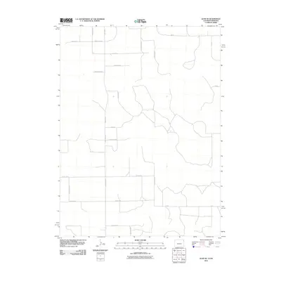
2010 Map of Alvin NE
USGS Topo · Published 2010About this map
Agricultural patterns and a rigid section-line road network define this corner of the Colorado-Nebraska borderlands in the early 21st century. The landscape is structured by a grid of rural routes, including County Rd NN.5 and County Rd QQ, which reflect the long-standing land division systems of the High Plains. While the terrain is largely open, the presence of Creek 60 provides a primary natural drainage feature in an area otherwise dominated by straight-line navigation. Small variations in the grid, such as the placement of 736 Rd and 734 Rd, suggest local adaptations to the topography or property boundaries. For those studying the rural infrastructure of Yuma County and the adjacent Nebraska line, this survey provides a clear view of the road designations and geographic markers that anchor this farming and ranching region.
Find a feature on this map
22 named features on this map. Tap any name to fly to it.
Don’t see what you’re looking for? This feature index may not catch every label — zoom into the map to look around manually.
Map Details
Editions of this 2010 Alvin NE Map
This is the sole edition of this map. No revisions or reprints were ever made.
Other maps of this area

1954 · Sterling
USGS Topo · 1:250,000

1954 · McCook
USGS Topo · 1:250,000

1957 · McCook
USGS Topo · 1:250,000

1958 · McCook
USGS Topo · 1:250,000

1958 · Sterling
USGS Topo · 1:250,000

1961 · Lamar
USGS Topo · 1:24,000

1971 · Amherst SW
USGS Topo · 1:24,000

1971 · Alvin NW
USGS Topo · 1:24,000

1971 · Amherst SE
USGS Topo · 1:24,000

1971 · Alvin SW
USGS Topo · 1:24,000