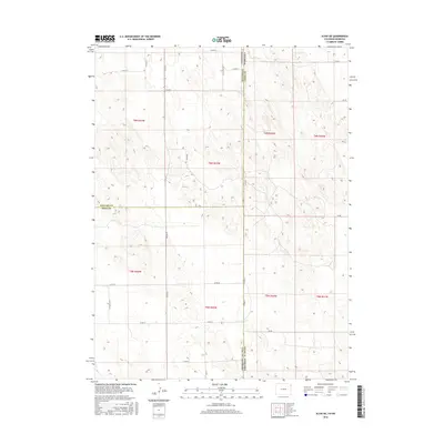
2016 Map of Alvin NE
USGS Topo · Published 2016About this map
The Colorado Nebraska state line bisects this 2016 survey, where the high plains of Yuma County and Chase County meet. The landscape is defined by a rigid section-line road grid, including Co Rd 10 and Co Rd 56, which overlays a complex natural topography of small depressions and seasonal drainages. This cartography reveals the intersection of three counties, with the Phillips Co Yuma Co boundary meeting the state line at a tri-point shared with Phillips Co Chase Co. The sparse network of routes like Co Rd 63 and 736 Rd highlights the vast agricultural spacing and the meticulous Public Land Survey System divisions that organize this borderland.
Find a feature on this map
30 named features on this map. Tap any name to fly to it.
Don’t see what you’re looking for? This feature index may not catch every label — zoom into the map to look around manually.
Map Details
Editions of this 2016 Alvin NE Map
This is the sole edition of this map. No revisions or reprints were ever made.
Other maps of this area

1954 · Sterling
USGS Topo · 1:250,000

1954 · McCook
USGS Topo · 1:250,000

1957 · McCook
USGS Topo · 1:250,000

1958 · McCook
USGS Topo · 1:250,000

1958 · Sterling
USGS Topo · 1:250,000

1961 · Lamar
USGS Topo · 1:24,000

1971 · Amherst SW
USGS Topo · 1:24,000

1971 · Alvin NW
USGS Topo · 1:24,000

1971 · Amherst SE
USGS Topo · 1:24,000

1971 · Alvin SW
USGS Topo · 1:24,000