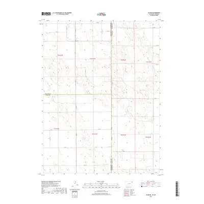
2019 Map of Alvin NE
USGS Topo · Published 2019About this map
The High Plains landscape at the tri-point of Colorado and Nebraska is defined by a sparse but orderly network of section-line roads and the undulating topography of the Sandhills. This survey illustrates the convergence of Yuma and Phillips counties in Colorado with Chase County in Nebraska. The region's agricultural layout is established through the Public Land Survey System, as seen in the boundaries of t6n r42w and t5n r42w. The terrain is marked by a series of depressions and small basins, characteristic of this arid prairie environment. Human presence is concentrated along a skeletal grid of rural routes including Co RD 10 and Co RD 58, which connect isolated farmsteads and facilitate the movement of goods across the state line. The map captures the quiet, expansive nature of this ranching and dry-land farming territory before the modern era.
Find a feature on this map
31 named features on this map. Tap any name to fly to it.
Don’t see what you’re looking for? This feature index may not catch every label — zoom into the map to look around manually.
Map Details
Editions of this 2019 Alvin NE Map
This is the sole edition of this map. No revisions or reprints were ever made.
Other maps of this area

1954 · Sterling
USGS Topo · 1:250,000

1954 · McCook
USGS Topo · 1:250,000

1957 · McCook
USGS Topo · 1:250,000

1958 · McCook
USGS Topo · 1:250,000

1958 · Sterling
USGS Topo · 1:250,000

1961 · Lamar
USGS Topo · 1:24,000

1971 · Amherst SW
USGS Topo · 1:24,000

1971 · Alvin NW
USGS Topo · 1:24,000

1971 · Amherst SE
USGS Topo · 1:24,000

1971 · Alvin SW
USGS Topo · 1:24,000