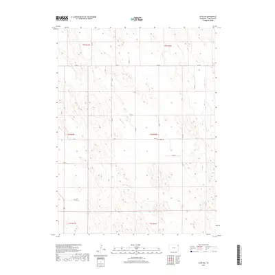
2019 Map of Alvin SW
USGS Topo · Published 2019About this map
Triangle Cem sits at the intersection of Co Rd Kk and Co Rd 51, a solitary landmark in the high plains of eastern Yuma County. This modern survey illustrates a landscape primarily defined by the Public Land Survey System, with townships like t4n r43w and t5n r44w meticulously partitioned into sections. The terrain is characterized by subtle depressions and low rises, where the lack of surface water is reflected in the absence of named creeks or rivers. Instead, a strict grid of county roads, including Co Rd 54 and Co Rd Hh, provides the essential infrastructure for this agricultural and ranching region. The map captures the quiet, expansive character of Colorado's rural borderlands, where the placement of a single cemetery or a specific road junction like Co Rd 50 serves as a critical geographic marker.
Find a feature on this map
18 named features on this map. Tap any name to fly to it.
Don’t see what you’re looking for? This feature index may not catch every label — zoom into the map to look around manually.
Map Details
Editions of this 2019 Alvin SW Map
This is the sole edition of this map. No revisions or reprints were ever made.
Other maps of this area

1954 · Sterling
USGS Topo · 1:250,000

1958 · Sterling
USGS Topo · 1:250,000

1971 · Alvin NW
USGS Topo · 1:24,000

1971 · Alvin SW
USGS Topo · 1:24,000

1971 · Wauneta NE
USGS Topo · 1:24,000

1971 · Alvin
USGS Topo · 1:24,000

1971 · Wauneta
USGS Topo · 1:24,000

1971 · Wray NE
USGS Topo · 1:24,000

1971 · Eckley NE
USGS Topo · 1:24,000

1971 · Alvin NE
USGS Topo · 1:24,000