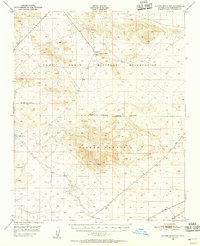
1948 Map of Alvord Mountain
USGS Topo · Published 1956About this map
Alvord Mountain dominates this High Desert landscape, serving as a prominent landmark within the northern reaches of San Bernardino County. In the late 1940s, the terrain was defined by the intersection of military activity and isolated desert industry, most notably at the Alvord Mine and the sprawling Camp Irwin Military Reservation. Sparse water sources were the lifeblood of the region, anchored by Garlic Spring, Langford Well, and Alvord Well, while the dry expanse of Coyote Lake marks the southern portion of the sheet.
Find a feature on this map
16 named features on this map. Tap any name to fly to it.
Don’t see what you’re looking for? This feature index may not catch every label — zoom into the map to look around manually.
Map Details
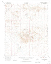
Editions of this 1948 Alvord Mountain Map
3 editions found
Other maps of this area

1933 · Avawatz Mountains
USGS Topo · 1:250,000

1947 · Trona
USGS Topo · 1:250,000

1948 · Red Pass Lake
USGS Topo · 1:62,500

1948 · Trona
USGS Topo · 1:250,000

1948 · Alvord Mountain
USGS Topo · 1:62,500

1948 · Cave Mountain
USGS Topo · 1:62,500

1948 · Lane Mountain
USGS Topo · 1:62,500

1948 · Goldstone Lake
USGS Topo · 1:62,500

1948 · Tiefort Mountains
USGS Topo · 1:62,500

1951 · Goldstone Lake
USGS Topo · 1:62,500