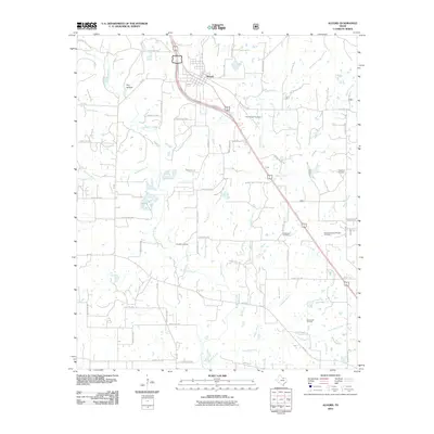
2010 Map of Alvord
USGS Topo · Published 2010About this map
The town of Alvord serves as the focal point for this Wise County survey, situated at the intersection of several key regional routes and the dividing bypass of US Highway 287. The surrounding landscape is defined by an intricate network of waterways, including Big Sandy Creek and its many tributaries such as Mudhole Branch, Briar Branch, and Sandy Creek. These drainages carve through the terrain, creating features like Dry Hollow and supporting local ranching and agricultural operations.
Find a feature on this map
72 named features on this map. Tap any name to fly to it.
Don’t see what you’re looking for? This feature index may not catch every label — zoom into the map to look around manually.
Map Details
Editions of this 2010 Alvord Map
This is the sole edition of this map. No revisions or reprints were ever made.
Other maps of this area

1930 · Boyd
USGS Topo · 1:62,500

1954 · Sherman
USGS Topo · 1:250,000

1958 · Sherman
USGS Topo · 1:250,000

1960 · Bridgeport West
USGS Topo · 1:24,000

1960 · Bridgeport East
USGS Topo · 1:24,000

1960 · Decatur
USGS Topo · 1:24,000

1961 · Pecan Creek
USGS Topo · 1:24,000

1961 · Alvord
USGS Topo · 1:24,000

1961 · New Harp
USGS Topo · 1:24,000

1961 · Sunset
USGS Topo · 1:24,000