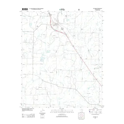
2013 Map of Alvord
USGS Topo · Published 2013About this map
Alvord serves as the primary hub of this North Texas landscape, where the local economy is defined by a dense network of energy extraction and aviation. The geography is marked by several significant petroleum developments, including the Caughlin Oil Field, Alvord Southeast Bryson Oil Field, and the Boonsville Oil Field to the southeast. These industrial features sit alongside a rural infrastructure of family and community landmarks, such as Briar Branch Cem and Jonestown Cem, which provide essential touchpoints for genealogical research. The terrain is dissected by numerous waterways like Big Sandy Cr and Pringle Cr, while local aviation is supported by Vance Field Airport and the curiously named Spectre-Airport. A complex web of county roads, including Old Decatur Rd and Prairie Point Pike, connects the disparate homesteads and oil operations across the territory.
Find a feature on this map
60 named features on this map. Tap any name to fly to it.
Don’t see what you’re looking for? This feature index may not catch every label — zoom into the map to look around manually.
Map Details
Editions of this 2013 Alvord Map
This is the sole edition of this map. No revisions or reprints were ever made.
Other maps of this area

1930 · Boyd
USGS Topo · 1:62,500

1954 · Sherman
USGS Topo · 1:250,000

1958 · Sherman
USGS Topo · 1:250,000

1960 · Bridgeport West
USGS Topo · 1:24,000

1960 · Bridgeport East
USGS Topo · 1:24,000

1960 · Decatur
USGS Topo · 1:24,000

1961 · Pecan Creek
USGS Topo · 1:24,000

1961 · Alvord
USGS Topo · 1:24,000

1961 · New Harp
USGS Topo · 1:24,000

1961 · Sunset
USGS Topo · 1:24,000