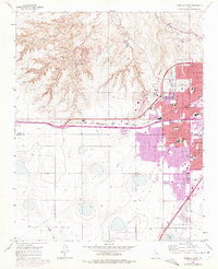
1960 Map of Amarillo West
USGS Topo · Published 1975About this map
The western expansion of Amarillo is meticulously documented in this mid-century topographic record, showing the city's transition from the established grid of the Amarillo Country Club and Veterans Hospital into new suburban developments like Olsen Park. The landscape is bisected by the heavy infrastructure of the Chicago Rock Island and Pacific and the Fort Worth and Denver railroads, which share space with a complex network of water management features including an Aqueduct and multiple springs feeding into the rugged canyons to the northwest.
Find a feature on this map
45 named features on this map. Tap any name to fly to it.
Don’t see what you’re looking for? This feature index may not catch every label — zoom into the map to look around manually.
Map Details
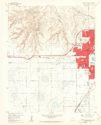
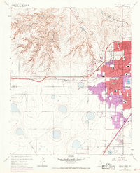
Editions of this 1960 Amarillo West Map
3 editions found
Other maps of this area

1934 · Ady
USGS Topo · 1:62,500

1934 · Cliffside
USGS Topo · 1:62,500

1936 · Cliffside
USGS Topo · 1:62,500

1936 · Ady
USGS Topo · 1:62,500

1953 · Pleasant Valley
USGS Topo · 1:24,000

1953 · Cliffside
USGS Topo · 1:24,000

1954 · Tucumcari
USGS Topo · 1:250,000

1954 · Amarillo
USGS Topo · 1:250,000

1956 · Amarillo East
USGS Topo · 1:24,000

1958 · Amarillo
USGS Topo · 1:250,000