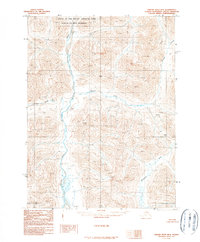
1990 Map of Ambler River B-2
USGS Topo · Published 1990About this map
Ambler River winds through this northern landscape, marking a terrain defined by significant river systems and federally protected lands. This portion of the Brooks Range territory is divided between public lands and the vast Gates of the Arctic National Park, with much of the northern half further designated as the Gates of the Arctic Wilderness. The map reveals an intricate network of drainage basins, including the Shungnak River in the southeast and the smaller Katurivik Creek and Ulaneak Creek which feed into the larger watercourses. Compiled from photography taken in the late 1970s and early 1980s, the survey documents the land before major modern shifts, showing the area as it existed in its most primitive state with no roads or trails indicated on the entire sheet.
Find a feature on this map
6 named features on this map. Tap any name to fly to it.
Don’t see what you’re looking for? This feature index may not catch every label — zoom into the map to look around manually.
Map Details
Editions of this 1990 Ambler River B-2 Map
This is the sole edition of this map. No revisions or reprints were ever made.
Other maps of this area

1951 · Ambler River
USGS Topo · 1:250,000

1956 · Ambler River
USGS Topo · 1:250,000

1964 · Ambler River
USGS Topo · 1:250,000
1985 · Ambler River A-3
USGS Topo · 1:63,360
1985 · Ambler River A-2
USGS Topo · 1:63,360
1985 · Ambler River A-1
USGS Topo · 1:63,360
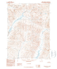
1990 · Ambler River B-3
USGS Topo · 1:63,360
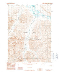
1990 · Ambler River C-1
USGS Topo · 1:63,360
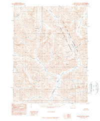
1990 · Ambler River B-1
USGS Topo · 1:63,360
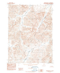
1990 · Ambler River C-2
USGS Topo · 1:63,360