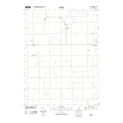
2010 Map of Amboy
USGS Topo · Published 2010About this map
Amboy and the surrounding Miami County agricultural landscape are defined by a sophisticated network of drainage ditches that managed the regional water table for Indiana's mid-century farming economy. This survey documents a complex system of waterways, including Regan Ditch, Overman Ditch, and Miller Ditch, which redirect flow toward Pipe Creek and Honey Creek. The map provides a detailed view of the small-town layouts for Converse and North Grove, alongside rural crossroads like Plevna. For local historians, the concentration of family-named and community burial sites is particularly notable, ranging from the central Friends Cemetery and Park Lawn Cemetery to more remote sites like Herchberger Cemetery and Barnhart Cemetery. Near the eastern edge, Fox Lake and the Converse Airport represent the local shift toward recreation and aviation infrastructure.
Find a feature on this map
62 named features on this map. Tap any name to fly to it.
Don’t see what you’re looking for? This feature index may not catch every label — zoom into the map to look around manually.
Map Details
Editions of this 2010 Amboy Map
This is the sole edition of this map. No revisions or reprints were ever made.
Other maps of this area

1951 · Bunker Hill
USGS Topo · 1:24,000

1953 · Somerset
USGS Topo · 1:24,000

1953 · Peoria
USGS Topo · 1:24,000

1953 · Danville
USGS Topo · 1:250,000

1953 · Muncie
USGS Topo · 1:250,000

1955 · Danville
USGS Topo · 1:250,000

1956 · Muncie
USGS Topo · 1:250,000

1956 · Danville
USGS Topo · 1:250,000

1959 · Miami
USGS Topo · 1:24,000

1960 · Point Isabel
USGS Topo · 1:24,000