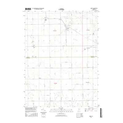
2016 Map of Amboy
USGS Topo · Published 2016About this map
Amboy and North Grove anchor the landscape of southern Miami County in this detailed topographical study. The area is defined by a dense concentration of family and community burial grounds, including the Herchberger, Gerber, and Barnhart cemeteries, providing a critical resource for genealogical research. To the east, the settlement of Converse sits near the border of Grant and Howard counties, supported by the Converse Airport. The terrain is shaped by an intricate network of drainage and natural watercourses like Pipe Creek, Deer Creek, and Honey Creek, illustrating the complex hydrology required for the region's agricultural productivity. Further south, the crossroads of Plevna marks the transition into Howard County, where ditch systems like the Matthew Howell Ditch and Fisher Ditch have historically managed the fertile plains.
Find a feature on this map
49 named features on this map. Tap any name to fly to it.
Don’t see what you’re looking for? This feature index may not catch every label — zoom into the map to look around manually.
Map Details
Editions of this 2016 Amboy Map
This is the sole edition of this map. No revisions or reprints were ever made.
Other maps of this area

1951 · Bunker Hill
USGS Topo · 1:24,000

1953 · Somerset
USGS Topo · 1:24,000

1953 · Peoria
USGS Topo · 1:24,000

1953 · Danville
USGS Topo · 1:250,000

1953 · Muncie
USGS Topo · 1:250,000

1955 · Danville
USGS Topo · 1:250,000

1956 · Muncie
USGS Topo · 1:250,000

1956 · Danville
USGS Topo · 1:250,000

1959 · Miami
USGS Topo · 1:24,000

1960 · Point Isabel
USGS Topo · 1:24,000