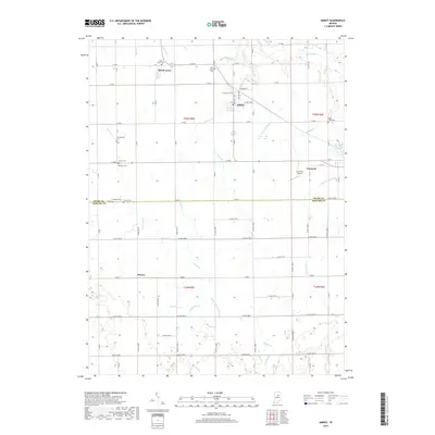
2019 Map of Amboy
USGS Topo · Published 2019About this map
Amboy and North Grove center a landscape defined by organized agricultural grid lines and an intricate network of drainage ditches and creeks. This rural corridor straddles the Miami Co Howard Co boundary, where local life is rooted in small settlements and a high density of small family or community burial grounds. Features such as Friends Cem, Herchberger Cem, and Shrock Cem are scattered across the townships, reflecting the deep genealogical history of the area. The terrain is relatively flat, drained by systems like Regan Ditch, Overman Ditch, and Matthew Howell Ditch, which feed into larger water bodies like Pipe Creek and Sugar Cr. This intricate water management system reveals the engineered nature of the modern Midwestern farm belt, while the presence of the Converse Airport and the town of Converse in the eastern section shows the transition from agrarian roots to modern infrastructure.
Find a feature on this map
52 named features on this map. Tap any name to fly to it.
Don’t see what you’re looking for? This feature index may not catch every label — zoom into the map to look around manually.
Map Details
Editions of this 2019 Amboy Map
This is the sole edition of this map. No revisions or reprints were ever made.
Other maps of this area

1951 · Bunker Hill
USGS Topo · 1:24,000

1953 · Somerset
USGS Topo · 1:24,000

1953 · Peoria
USGS Topo · 1:24,000

1953 · Danville
USGS Topo · 1:250,000

1953 · Muncie
USGS Topo · 1:250,000

1955 · Danville
USGS Topo · 1:250,000

1956 · Muncie
USGS Topo · 1:250,000

1956 · Danville
USGS Topo · 1:250,000

1959 · Miami
USGS Topo · 1:24,000

1960 · Point Isabel
USGS Topo · 1:24,000