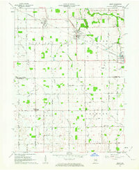
1962 Map of Amboy
USGS Topo · Published 1963About this map
Agricultural lands and rail junctions define this area of north-central Indiana during the early 1960s. The landscape is a patchwork of small farms, connected by a rigid grid of country roads and several major rail lines, including the Pennsylvania Railroad and the Chesapeake and Ohio Railroad, which intersect at Amboy. These tracks served as vital arteries for grain transport from local elevators in settlements like North Grove and Converse.
Find a feature on this map
45 named features on this map. Tap any name to fly to it.
Don’t see what you’re looking for? This feature index may not catch every label — zoom into the map to look around manually.
Map Details
Editions of this 1962 Amboy Map
2 editions found
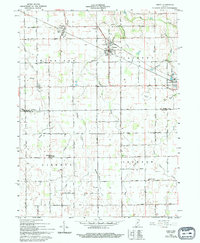
Other maps of this area

1951 · Bunker Hill
USGS Topo · 1:24,000

1953 · Somerset
USGS Topo · 1:24,000

1953 · Peoria
USGS Topo · 1:24,000

1953 · Danville
USGS Topo · 1:250,000

1953 · Muncie
USGS Topo · 1:250,000

1955 · Danville
USGS Topo · 1:250,000

1956 · Muncie
USGS Topo · 1:250,000

1956 · Danville
USGS Topo · 1:250,000

1959 · Miami
USGS Topo · 1:24,000

1960 · Point Isabel
USGS Topo · 1:24,000