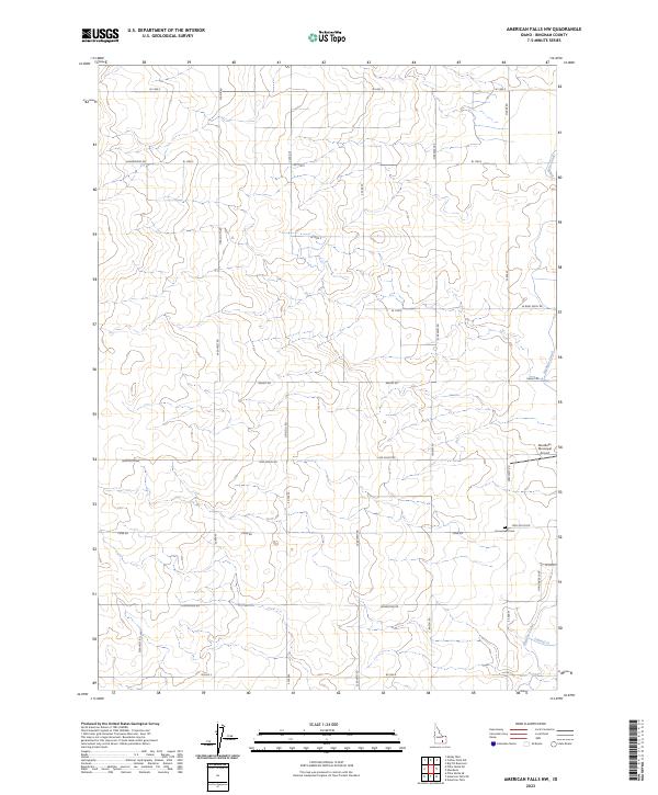
2023 Map of American Falls NW
USGS Topo · Published 2023About this map
Agricultural development and irrigation infrastructure define this corner of Idaho, where the Highline Canal and Lateral O channel water through a landscape of precisely surveyed sections. The map reveals a rural grid system anchored by family-named roads and remote landmarks, including the Homestead Cem located along Funk Rd. This cemetery provides a tangible link for genealogists to early farming families who settled in the T5S R30E and T6S R30E townships. The northeastern edge features the Aberdeen Municipal Airport, marking the area's modern connection to the wider region. The interplay between historical land divisions and essential water management systems is visible in the network of canals and drains that supported the local agrarian economy. Notable local thoroughfares like Vanderford Rd, Moser Rd, and Hunsinger Loop reflect the persistence of family lineages in the rural countryside.
Find a feature on this map
36 named features on this map. Tap any name to fly to it.
Don’t see what you’re looking for? This feature index may not catch every label — zoom into the map to look around manually.
Map Details
Editions of this 2023 American Falls NW Map
This is the sole edition of this map. No revisions or reprints were ever made.
Other maps of this area

1934 · American Falls
USGS Topo · 1:62,500

1936 · American Falls
USGS Topo · 1:62,500

1954 · Pocatello
USGS Topo · 1:250,000

1955 · Idaho Falls
USGS Topo · 1:250,000

1958 · Idaho Falls
USGS Topo · 1:250,000

1958 · Pocatello
USGS Topo · 1:250,000
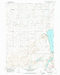
1971 · American Falls SW
USGS Topo · 1:24,000
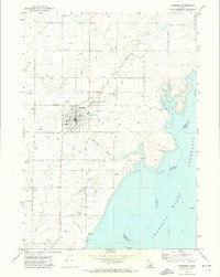
1971 · Aberdeen
USGS Topo · 1:24,000

1971 · American Falls NW
USGS Topo · 1:24,000
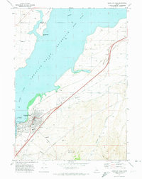
1971 · American Falls
USGS Topo · 1:24,000